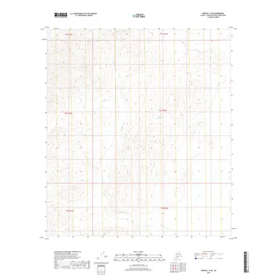
2019 Map of Medfra C-2 SW
USGS Topo · Published 2019About this map
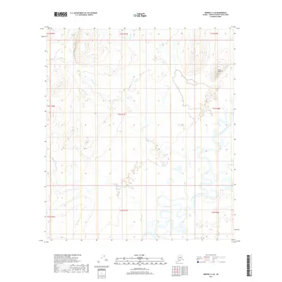
Hardscrabble Cr meanders through this interior Alaska landscape, defining the drainage patterns of the Yukon-Koyukuk region. This 2019 survey by the U.S. Geological Survey captures the high-relief terrain where elevations rise sharply from the creek beds to prominent ridge lines. The hydrography of the area is primarily shaped by the winding courses of Rungun Cr and Stone Cr, which carve through the valleys of the Kuskokwim Mountains. The map illustrates a remote wilderness characterized by complex contour intervals, showing the intricate landforms and watershed divides that separate these glacial and tectonic mountain ranges.
Find a feature on this map
3 named features on this map. Tap any name to fly to it.
Don’t see what you’re looking for? This feature index may not catch every label — zoom into the map to look around manually.
Map Details
Editions of this 2019 Medfra C-2 SW Map
This is the sole edition of this map. No revisions or reprints were ever made.
Other maps of this area

1950 · Medfra
USGS Topo · 1:250,000

1954 · Medfra C-3
USGS Topo · 1:63,360

1955 · Medfra B-3
USGS Topo · 1:63,360

1958 · Medfra C-2
USGS Topo · 1:63,360

1958 · Medfra B-2
USGS Topo · 1:63,360

1959 · Medfra
USGS Topo · 1:250,000
2019 · Medfra C-2 NE
USGS Topo · 1:25,000
2019 · Medfra C-2 NW
USGS Topo · 1:25,000
2019 · Medfra B-3 NE
USGS Topo · 1:25,000
2019 · Medfra C-2 SE
USGS Topo · 1:25,000