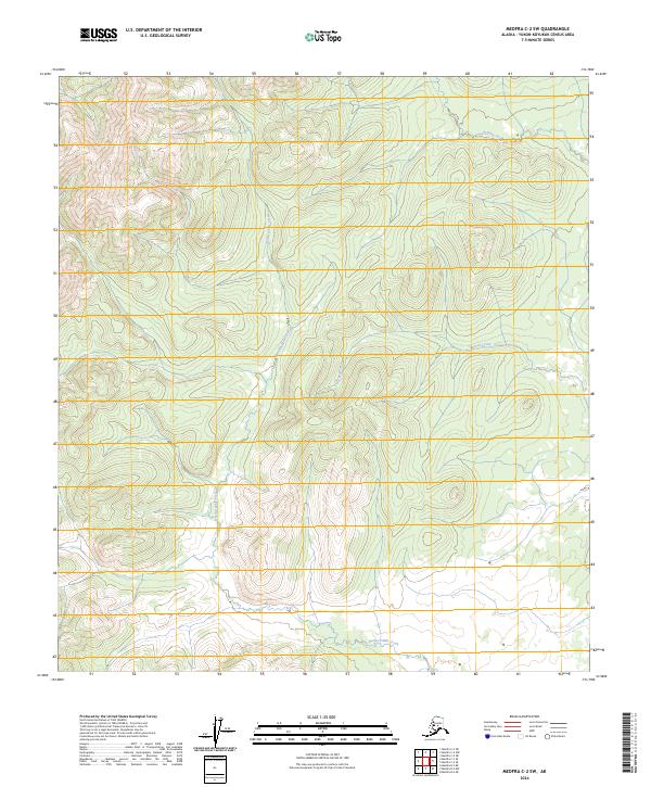
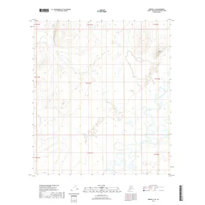
2024 Map of Medfra C-2 SW
USGS Topo · Published 2024About this map
Hardscrabble Creek cuts a dominant path through this interior Alaskan landscape, which is defined by high ridgelines and deep drainage basins in the Yukon-Koyukuk Census Area. The terrain is organized by a systematic grid of township and range lines, including t22s r26e and t23s r25e, which provide the only human-imposed framework across this roadless wilderness. Smaller waterways such as Rungun Creek and Stone Creek feed into larger systems, illustrating a complex hydrologic network that has shaped the topography over millennia. While no permanent settlements appear on this modern 2024 survey, the land remains a point of interest for its untouched character and the specific paths of these named interior creeks.
Find a feature on this map
9 named features on this map. Tap any name to fly to it.
Don’t see what you’re looking for? This feature index may not catch every label — zoom into the map to look around manually.
Map Details
Editions of this 2024 Medfra C-2 SW Map
This is the sole edition of this map. No revisions or reprints were ever made.
Other maps of this area

1950 · Medfra
USGS Topo · 1:250,000

1954 · Medfra C-3
USGS Topo · 1:63,360

1955 · Medfra B-3
USGS Topo · 1:63,360

1958 · Medfra C-2
USGS Topo · 1:63,360

1958 · Medfra B-2
USGS Topo · 1:63,360

1959 · Medfra
USGS Topo · 1:250,000
2019 · Medfra C-2 NE
USGS Topo · 1:25,000
2019 · Medfra C-2 NW
USGS Topo · 1:25,000
2019 · Medfra B-3 NE
USGS Topo · 1:25,000
2019 · Medfra C-2 SE
USGS Topo · 1:25,000