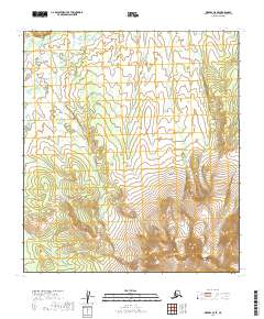
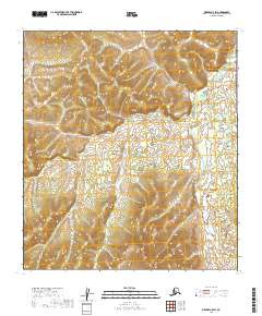
2019 Map of Medfra C-5 SE
USGS Topo · Published 2019About this map
Kuskokwim Mountains peaks dominate this section of the Alaskan interior, showing the transition between the high ridges and the drainage basins of the Nowitna River. The topography shifts from the steep contours of the Sunshine Mountains in the south to the complex network of unnamed streams and wetlands that define the river's approach. This 2019 survey documents the landscape through precisely defined township and range lines, including t21s r19e and t23s r20e, providing a clear record of the federal land grid in a region characterized by its lack of established roads or human settlements.
Find a feature on this map
9 named features on this map. Tap any name to fly to it.
Don’t see what you’re looking for? This feature index may not catch every label — zoom into the map to look around manually.
Map Details
Editions of this 2019 Medfra C-5 SE Map
This is the sole edition of this map. No revisions or reprints were ever made.
Other maps of this area

1950 · Medfra
USGS Topo · 1:250,000

1953 · Medfra B-4
USGS Topo · 1:63,360

1953 · Medfra B-5
USGS Topo · 1:63,360

1953 · Medfra C-4
USGS Topo · 1:63,360

1954 · Medfra C-5
USGS Topo · 1:63,360

1959 · Medfra
USGS Topo · 1:250,000
2019 · Medfra B-4 NW
USGS Topo · 1:25,000
2019 · Medfra C-5 NW
USGS Topo · 1:25,000
2019 · Medfra B-5 NW
USGS Topo · 1:25,000
2019 · Medfra C-5 SW
USGS Topo · 1:25,000