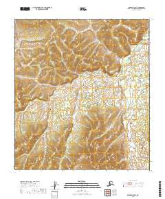
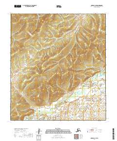
2019 Map of Medfra C-5 SW
USGS Topo · Published 2019About this map
The Nowitna River meanders across this interior landscape within the Yukon-Koyukuk region of Alaska. This 2019 survey documents a vast area of wetlands and river basins where the topography is defined by the winding course of the river as it flows through the township grids of the Public Land Survey System. The absence of roads or established settlements on this sheet reflects the wilderness character of the region, emphasizing the importance of the river as the primary natural feature and potential corridor for travel or subsistence. Researchers focusing on the geography of central Alaska can use this record to trace the intricate oxbows and shifts in the river's path through sections like t22s r18e and t23s r18e.
Find a feature on this map
10 named features on this map. Tap any name to fly to it.
Don’t see what you’re looking for? This feature index may not catch every label — zoom into the map to look around manually.
Map Details
Editions of this 2019 Medfra C-5 SW Map
This is the sole edition of this map. No revisions or reprints were ever made.
Other maps of this area

1950 · Medfra
USGS Topo · 1:250,000

1953 · Medfra B-5
USGS Topo · 1:63,360

1954 · Medfra C-6
USGS Topo · 1:63,360

1954 · Medfra C-5
USGS Topo · 1:63,360

1954 · Medfra B-6
USGS Topo · 1:63,360

1959 · Medfra
USGS Topo · 1:250,000
2019 · Medfra C-6 SE
USGS Topo · 1:25,000
2019 · Medfra C-5 NW
USGS Topo · 1:25,000
2019 · Medfra B-5 NW
USGS Topo · 1:25,000
2019 · Medfra C-5 NE
USGS Topo · 1:25,000