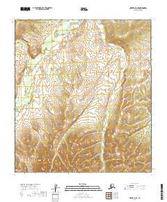
2019 Map of Medfra C-6 SE
USGS Topo · Published 2019About this map
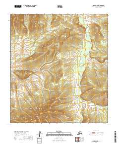
Susulatna River meanders across the northern portion of this interior Alaskan landscape, defining the hydrology of a region where the water systems are the primary geographical markers. The terrain transitions from the low-lying river plains into the elevated Susulatna Hills in the southern half of the map. This shift in topography suggests the divide between the broader drainage basins and the rising interior uplands of the Yukon-Koyukuk Census Area. The North Fork River enters the frame in the southeast, further emphasizing the dense network of waterways that dominate this remote part of the Department of the Interior's managed lands. The absence of roads or established settlements highlights the wild character of this territory during the early twenty-first century.
Find a feature on this map
9 named features on this map. Tap any name to fly to it.
Don’t see what you’re looking for? This feature index may not catch every label — zoom into the map to look around manually.
Map Details
Editions of this 2019 Medfra C-6 SE Map
This is the sole edition of this map. No revisions or reprints were ever made.
Other maps of this area

1950 · Medfra
USGS Topo · 1:250,000

1953 · Medfra B-5
USGS Topo · 1:63,360

1954 · Medfra C-6
USGS Topo · 1:63,360

1954 · Medfra C-5
USGS Topo · 1:63,360

1954 · Medfra B-6
USGS Topo · 1:63,360

1959 · Medfra
USGS Topo · 1:250,000
2019 · Medfra C-6 SW
USGS Topo · 1:25,000
2019 · Medfra C-5 NW
USGS Topo · 1:25,000
2019 · Medfra B-5 NW
USGS Topo · 1:25,000
2019 · Medfra B-6 NW
USGS Topo · 1:25,000