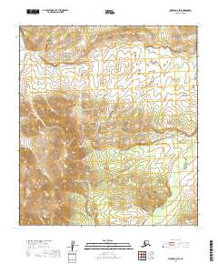
2019 Map of Medfra C-6 SW
USGS Topo · Published 2019About this map
The Kuskokwim Mountains and Cripple Creek Mountains dominate this interior Alaskan landscape, defining a high-elevation divide between several drainage systems. This 2019 data illustrates the complex topography of the Yukon-Koyukuk Census Area, where a series of north-flowing tributaries including Creston Cr, Wyoming Cr, and Idaho Cr carve through the northern slopes. To the south, the terrain falls away toward the Susulatna River valley.
Find a feature on this map
16 named features on this map. Tap any name to fly to it.
Don’t see what you’re looking for? This feature index may not catch every label — zoom into the map to look around manually.
Map Details
Editions of this 2019 Medfra C-6 SW Map
This is the sole edition of this map. No revisions or reprints were ever made.
Other maps of this area

1950 · Medfra
USGS Topo · 1:250,000

1951 · Ophir
USGS Topo · 1:250,000

1954 · Medfra C-6
USGS Topo · 1:63,360

1954 · Medfra B-6
USGS Topo · 1:63,360

1954 · Ophir C-1
USGS Topo · 1:63,360

1954 · Ophir B-1
USGS Topo · 1:63,360

1954 · Ophir
USGS Topo · 1:250,000

1959 · Medfra
USGS Topo · 1:250,000
2019 · Ophir C-1 NE
USGS Topo · 1:25,000
2019 · Ophir B-1 NE
USGS Topo · 1:25,000