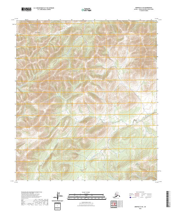
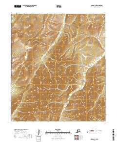
2024 Map of Medfra D-2 SE
USGS Topo · Published 2024About this map
Paradise Pass serves as a critical geographic transition point in this interior Alaskan landscape, marking a break between the high terrain of the Sischu Mountains and the complex drainage basins to the north. The area is defined by a dendritic network of waterways, most notably the Sethkokna River and its tributary, the Paradise Fork Sethkokna River. These river systems, including the Browns Fork, carve through the elevations near Telsitna Ridge, illustrating the natural corridors used for navigation and subsistence in the Yukon-Koyukuk region. The absence of road infrastructure or permanent settlements underscores the wilderness character of the territory, where the topography itself dictates the movement of people and wildlife through the mountain passes and along the West Fork Shelman Creek.
Find a feature on this map
11 named features on this map. Tap any name to fly to it.
Don’t see what you’re looking for? This feature index may not catch every label — zoom into the map to look around manually.
Map Details
Editions of this 2024 Medfra D-2 SE Map
This is the sole edition of this map. No revisions or reprints were ever made.
Other maps of this area

1950 · Medfra
USGS Topo · 1:250,000

1958 · Medfra D-2
USGS Topo · 1:63,360

1958 · Medfra C-2
USGS Topo · 1:63,360

1958 · Medfra C-1
USGS Topo · 1:63,360

1958 · Medfra D-1
USGS Topo · 1:63,360

1959 · Medfra
USGS Topo · 1:250,000
2019 · Medfra C-2 NE
USGS Topo · 1:25,000
2019 · Medfra D-2 SE
USGS Topo · 1:25,000
2019 · Medfra C-2 NW
USGS Topo · 1:25,000
2019 · Medfra D-2 NE
USGS Topo · 1:25,000