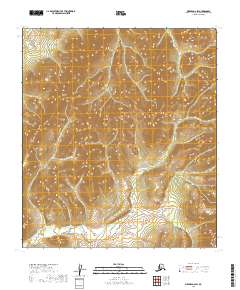
2019 Map of Medfra D-2 SW
USGS Topo · Published 2019About this map
Browns Fork winds through this Alaskan landscape, defining the local hydrography as recorded by the U.S. Geological Survey. The terrain is marked by significant elevation changes, meticulously documented through the National Elevation Dataset. This map highlights the drainage patterns of Pass Cr and its tributaries within the Yukon-Koyukuk Census Area. Surveyed boundaries include sections of t19s r25e, t19s r26e, t20s r25e, and t20s r26e, which delineate the Public Land Survey System as managed by the BLM. The absence of roads or established settlements emphasizes the remote nature of this interior Alaskan territory at the time of the 2019 survey.
Find a feature on this map
6 named features on this map. Tap any name to fly to it.
Don’t see what you’re looking for? This feature index may not catch every label — zoom into the map to look around manually.
Map Details
Editions of this 2019 Medfra D-2 SW Map
This is the sole edition of this map. No revisions or reprints were ever made.
Other maps of this area

1950 · Medfra
USGS Topo · 1:250,000
1954 · Medfra D-3
USGS Topo · 1:63,360

1954 · Medfra C-3
USGS Topo · 1:63,360

1958 · Medfra D-2
USGS Topo · 1:63,360

1958 · Medfra C-2
USGS Topo · 1:63,360

1959 · Medfra
USGS Topo · 1:250,000
2019 · Medfra C-2 NE
USGS Topo · 1:25,000
2019 · Medfra D-2 SE
USGS Topo · 1:25,000
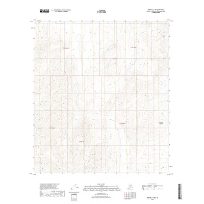
2019 · Medfra C-2 NW
USGS Topo · 1:25,000
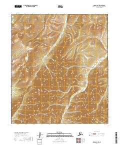
2019 · Medfra D-2 NE
USGS Topo · 1:25,000