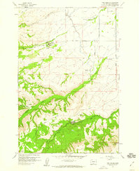
1958 Map of Medicine Valley
USGS Topo · Published 1960About this map
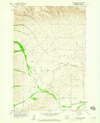
Medicine Valley dominates this 1950s landscape, where the confluence of North Medicine Creek and South Medicine Creek meets the larger Simcoe Creek drainage. The region shows a sparse but functional network of rural infrastructure, including the White Swan Substation and Hitchcock Airstrip near the southern boundary. For genealogists and local historians, the Yesmowit Cemetery and another unnamed Cemetery further west provide valuable reference points for early family settlement in Yakima County.
Find a feature on this map
30 named features on this map. Tap any name to fly to it.
Don’t see what you’re looking for? This feature index may not catch every label — zoom into the map to look around manually.
Map Details
Editions of this 1958 Medicine Valley Map
3 editions found

Other maps of this area

1899 · Ellensburg
USGS Topo · 1:125,000

1901 · Ellensburg
USGS Topo · 1:125,000
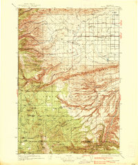
1937 · White Swan
USGS Topo · 1:125,000

1950 · Yakima
USGS Topo · 1:250,000

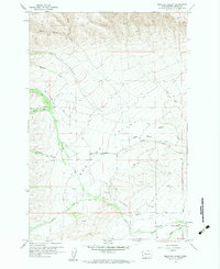
1957 · Yesmowit Canyon
USGS Topo · 1:24,000

1957 · Willy Dick Canyon
USGS Topo · 1:24,000
1958 · Toppenish Mtn.
USGS Topo · 1:24,000
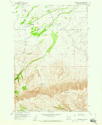
1958 · Fort Simcoe
USGS Topo · 1:24,000

1958 · Fort Simcoe
USGS Topo · 1:62,500
1958 · Wiley City
USGS Topo · 1:24,000