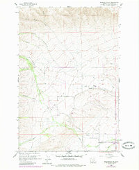
1958 Map of Medicine Valley
USGS Topo · Published 1985About this map
Medicine Valley dominates this landscape, where the convergence of Simcoe Creek and Medicine Creek shapes the local geography. The map provides a look at Yakima County in the mid-20th century, with significant updates from the mid-1980s that reveal the area's rural development. Genealogical interests are represented by Yesmowit Cemetery and another unnamed Cemetery located south of Medicine Valley Road. The drainage patterns are clearly defined by numerous tributaries, including Rattlesnake Creek flowing through Hog Canyon and the winding Wahtum Creek to the south. Human infrastructure is concentrated along roads like West White Swan Road, featuring the White Swan Substation and Hitchcock Airstrip, illustrating the intersection of utility and aviation in this part of Washington.
Find a feature on this map
32 named features on this map. Tap any name to fly to it.
Don’t see what you’re looking for? This feature index may not catch every label — zoom into the map to look around manually.
Map Details
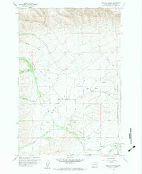
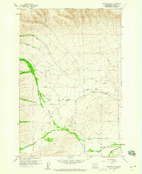
Editions of this 1958 Medicine Valley Map
3 editions found
Other maps of this area

1899 · Ellensburg
USGS Topo · 1:125,000

1901 · Ellensburg
USGS Topo · 1:125,000

1937 · White Swan
USGS Topo · 1:125,000

1950 · Yakima
USGS Topo · 1:250,000

1957 · Yesmowit Canyon
USGS Topo · 1:24,000
1957 · Willy Dick Canyon
USGS Topo · 1:24,000

1958 · Toppenish Mtn.
USGS Topo · 1:24,000

1958 · Fort Simcoe
USGS Topo · 1:24,000

1958 · Fort Simcoe
USGS Topo · 1:62,500

1958 · Wiley City
USGS Topo · 1:24,000