
1960 Map of Medicine Wheel
USGS Topo · Published 1962About this map
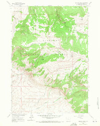
Medicine Wheel (Archeological Site) stands as the centerpiece of this high-altitude survey, situated atop the ridge of Medicine Mountain. The landscape is defined by the sharp descents into Devil Canyon and Tilletts Hole, illustrating the complex drainage patterns within the Bighorn National Forest. A network of watercourses including Porcupine Creek and Elk Springs Creek carve through the timbered terrain, while the Five Springs Campground and a scattered Jeep Trail suggest the mid-century accessibility of these remote peaks.
Find a feature on this map
21 named features on this map. Tap any name to fly to it.
Don’t see what you’re looking for? This feature index may not catch every label — zoom into the map to look around manually.
Map Details
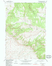
Editions of this 1960 Medicine Wheel Map
3 editions found
Other maps of this area

1898 · Bald Mountain
USGS Topo · 1:125,000

1901 · Bald Mountain
USGS Topo · 1:125,000

1955 · Cody
USGS Topo · 1:250,000

1955 · Sheridan
USGS Topo · 1:250,000

1958 · Cody
USGS Topo · 1:250,000

1958 · Sheridan
USGS Topo · 1:250,000

1960 · Boyd Ridge
USGS Topo · 1:24,000

1960 · Mexican Hill
USGS Topo · 1:24,000

1960 · Bear Creek Ranch
USGS Topo · 1:24,000
1960 · Bald Mountain
USGS Topo · 1:24,000