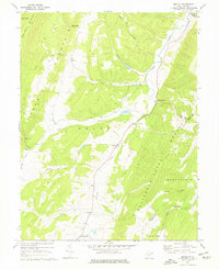
1967 Map of Medley
USGS Topo · Published 1977About this map
Patterson Creek carves a central valley through this section of the Potomac Highlands, flanked by the prominent ridges of Knobly Mountain and New Creek Mountain. In the late 1960s, small settlements such as Medley and Williamsport served as focal points for the rural population, connected by winding roads and numerous trails that navigate the hollows. The presence of St Pauls Ch and several scattered cemeteries provide important touchpoints for genealogical research in this Grant County landscape.
Find a feature on this map
27 named features on this map. Tap any name to fly to it.
Don’t see what you’re looking for? This feature index may not catch every label — zoom into the map to look around manually.
Map Details
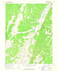
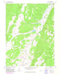
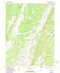
Editions of this 1967 Medley Map
4 editions found
Other maps of this area

1891 · Romney
USGS Topo · 1:125,000

1895 · Piedmont
USGS Topo · 1:125,000

1919 · Elk Garden
USGS Topo · 1:48,000

1920 · Elk Garden
USGS Topo · 1:48,000

1920 · Moorefield
USGS Topo · 1:62,500

1920 · Keyser
USGS Topo · 1:62,500

1921 · Keyser
USGS Topo · 1:48,000

1921 · Greenland Gap
USGS Topo · 1:62,500

1921 · Moorefield
USGS Topo · 1:48,000

1922 · Elk Garden
USGS Topo · 1:62,500