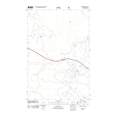
2011 Map of Medora
USGS Topo · Published 2011About this map
The Little Missouri River carves a winding path through this western North Dakota landscape, anchoring the historic settlement of Medora. This 2011 survey captures the town's unique position as a gateway to the badlands, surrounded by large family holdings and established ranching operations like the Spurgeon and Myers Ranch, Peaceful Valley Ranch, and Hellickson Ranch. The confluence of several waterways, including Andrews Creek, Sheep Creek, and Sully Creek, illustrates the complex drainage system feeding into the main river valley.
Find a feature on this map
19 named features on this map. Tap any name to fly to it.
Don’t see what you’re looking for? This feature index may not catch every label — zoom into the map to look around manually.
Map Details
Editions of this 2011 Medora Map
This is the sole edition of this map. No revisions or reprints were ever made.
Other maps of this area
1953 · Dickinson
USGS Topo · 1:250,000
1953 · Watford City
USGS Topo · 1:250,000
1957 · Dickinson
USGS Topo · 1:250,000
1957 · Watford City
USGS Topo · 1:250,000
1962 · Tracy Mountain
USGS Topo · 1:24,000
1962 · Fryburg NW
USGS Topo · 1:24,000
1963 · Gorham SW
USGS Topo · 1:24,000
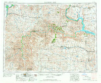
1967 · Watford City
USGS Topo · 1:250,000
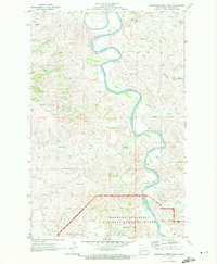
1970 · Wannagan Creek East
USGS Topo · 1:24,000
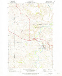
1970 · Medora
USGS Topo · 1:24,000