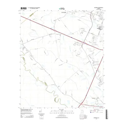
2014 Map of Meldrim SE
USGS Topo · Published 2014About this map
The Little Ogeechee River and the winding Ogeechee River dominate this coastal Georgia landscape, serving as the historical boundaries between Chatham, Effingham, and Bryan counties. This 2014 survey documents a region transitioning from rural riverfront and plantation land into sprawling residential pockets like Pooler Garden Acres Estates and Williams. The presence of several family and historic burial sites, including Hopeton Plantation Cem, Gravel Hill Cem, and Horning Memorial, indicates long-standing local settlement patterns. Infrastructure from different eras is visible side-by-side, such as the historic Savannah and Ogeechee Canal and the Hardin Canal running near newer developments. Major transit corridors like Us-80 and Ga-17 link the community of Bloomingdale to the surrounding lowlands, while landmarks like Brickyard Cem near the river's bend point toward the area's industrial past.
Find a feature on this map
116 named features on this map. Tap any name to fly to it.
Don’t see what you’re looking for? This feature index may not catch every label — zoom into the map to look around manually.
Map Details
Editions of this 2014 Meldrim SE Map
This is the sole edition of this map. No revisions or reprints were ever made.
Other maps of this area

1920 · Meldrim
USGS Topo · 1:62,500

1920 · Limerick
USGS Topo · 1:62,500

1942 · Meldrim
USGS Topo · 1:62,500

1942 · Savannah
USGS Topo · 1:62,500

1944 · Limerick
USGS Topo · 1:62,500

1944 · Ossabaw Island
USGS Topo · 1:62,500

1945 · Ossabaw Island
USGS Topo · 1:62,500

1946 · Brunswick
USGS Topo · 1:250,000

1947 · Savannah
USGS Topo · 1:250,000

1948 · Brunswick
USGS Topo · 1:250,000