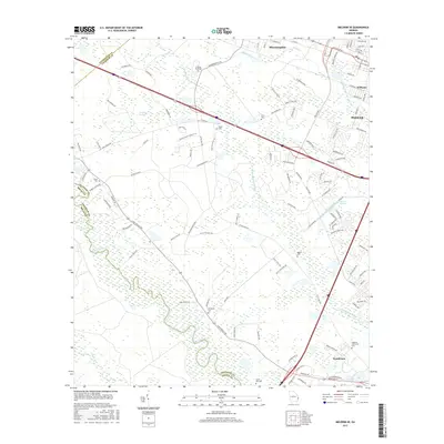
2017 Map of Meldrim SE
USGS Topo · Published 2017About this map
The Ogeechee River and the Savannah and Ogeechee Canal define the southern landscape of this coastal Georgia region, marking a corridor shaped by historical transport and drainage. In the north, the growing communities of Bloomingdale and Pooler are intersected by major infrastructure, while the rural interior preserves numerous small burial sites that offer a record of early family settlements. Genealogists can trace lineage through sites such as Wright Cem, Ennis Cem, and the Hopeton Plantation Cem near Henderson. The presence of the Hardin Canal and the winding Little Ogeechee River indicates the complex hydrology typical of the low-lying terrain near the Horse Pen Swamp. This 2017 survey documents the modern layout of roads like Fort Argyle Rd and Old Little Neck Rd as they connect these established settlements and legacy plantation lands.
Find a feature on this map
114 named features on this map. Tap any name to fly to it.
Don’t see what you’re looking for? This feature index may not catch every label — zoom into the map to look around manually.
Map Details
Editions of this 2017 Meldrim SE Map
This is the sole edition of this map. No revisions or reprints were ever made.
Other maps of this area

1920 · Meldrim
USGS Topo · 1:62,500

1920 · Limerick
USGS Topo · 1:62,500

1942 · Meldrim
USGS Topo · 1:62,500

1942 · Savannah
USGS Topo · 1:62,500

1944 · Limerick
USGS Topo · 1:62,500

1944 · Ossabaw Island
USGS Topo · 1:62,500

1945 · Ossabaw Island
USGS Topo · 1:62,500

1946 · Brunswick
USGS Topo · 1:250,000

1947 · Savannah
USGS Topo · 1:250,000

1948 · Brunswick
USGS Topo · 1:250,000