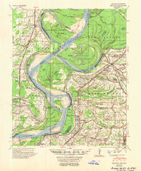
1954 Map of Mellwood
USGS Topo · Published 1954About this map
The Mississippi River carves a complex path through the Delta in the mid-1950s, creating a mosaic of oxbow lakes and chutes across the state line between Arkansas and Mississippi. This period is defined by the legacy of flood control, marked clearly by historical breach points like the Ferguson Crevasse 1912 and the Knowlton Crevasse 1916 (Knowlton Blue Hole). These landmarks, alongside engineered features like the Jackson Cut-off (1941), illustrate the ongoing struggle to manage the river's power.
Find a feature on this map
103 named features on this map. Tap any name to fly to it.
Don’t see what you’re looking for? This feature index may not catch every label — zoom into the map to look around manually.
Map Details
Editions of this 1954 Mellwood Map
This is the sole edition of this map. No revisions or reprints were ever made.
Other maps of this area
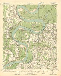
1930 · Mellwood
USGS Topo · 1:62,500
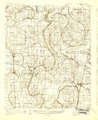
1931 · Drew
USGS Topo · 1:48,000
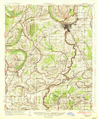
1935 · Clarksdale
USGS Topo · 1:62,500
1935 · Mound Bayou
USGS Topo · 1:62,500
1939 · Farrell
USGS Topo · 1:62,500
1939 · Modoc
USGS Topo · 1:62,500
1939 · Indian Bay
USGS Topo · 1:62,500
1939 · Henrico
USGS Topo · 1:62,500
1939 · Pace
USGS Topo · 1:62,500
1939 · Clarksdale
USGS Topo · 1:62,500