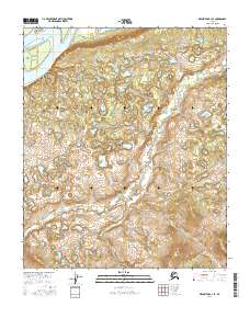
2016 Map of Melozitna A-1 SE
USGS Topo · Published 2016About this map
Clay Island sits at the northwestern edge of this interior landscape within the Yukon-Koyukuk region. The area is defined by a dense network of wetlands and small water bodies that saturate the low-lying terrain, showing the complex hydrology of the Alaskan interior. This specific portion of the Melozitna drainage is mapped according to the Public Land Survey System, with boundaries such as t4s r27e and t4s r28e providing the primary spatial framework. The terrain is characterized by subtle elevation changes and an intricate mosaic of bogs and ponds, reflecting a wilderness environment where natural drainage patterns dictate the character of the land rather than human infrastructure or settlement.
Find a feature on this map
43 named features on this map. Tap any name to fly to it.
Don’t see what you’re looking for? This feature index may not catch every label — zoom into the map to look around manually.
Map Details
Editions of this 2016 Melozitna A-1 SE Map
This is the sole edition of this map. No revisions or reprints were ever made.
Other maps of this area

1948 · Kantishna River
USGS Topo · 1:250,000

1951 · Kantishna River
USGS Topo · 1:250,000

1951 · Ruby
USGS Topo · 1:250,000

1951 · Melozitna
USGS Topo · 1:250,000

1951 · Tanana
USGS Topo · 1:250,000

1952 · Ruby D-1
USGS Topo · 1:63,360

1952 · Kantishna River
USGS Topo · 1:250,000

1952 · Tanana A-6
USGS Topo · 1:63,360

1952 · Kantishna River D-6
USGS Topo · 1:63,360

1952 · Ruby
USGS Topo · 1:250,000