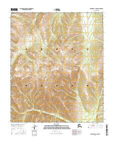
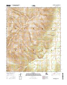
2016 Map of Melozitna A-2 NW
USGS Topo · Published 2016About this map
The interior landscape of the Yukon-Koyukuk region is defined here by the Public Land Survey System divisions of T3s R24e, T3s R25e, T4s R24e, and T4s R25e. This portion of Alaska exhibits a highly complex topography of ridgelines and drainage basins, where the contour density indicates significant elevation changes across a wilderness area devoid of named settlements or infrastructure. The arrangement of the township and range lines provides a structural grid for researchers tracking land claims or geographical data in this remote section of the Melozitna A-2 NW quadrangle. The lack of mapped roads or structures suggests a terrain primarily utilized for its natural resources or traditional navigation, preserved in this state during the mid-2010s.
Find a feature on this map
4 named features on this map. Tap any name to fly to it.
Don’t see what you’re looking for? This feature index may not catch every label — zoom into the map to look around manually.
Map Details
Editions of this 2016 Melozitna A-2 NW Map
This is the sole edition of this map. No revisions or reprints were ever made.
Other maps of this area

1951 · Melozitna
USGS Topo · 1:250,000

1952 · Melozitna A-2
USGS Topo · 1:63,360

1953 · Melozitna A-2
USGS Topo · 1:63,360

1954 · Melozitna B-3
USGS Topo · 1:63,360
1954 · Melozitna A-3
USGS Topo · 1:63,360

1956 · Melozitna B-2
USGS Topo · 1:63,360

1956 · Melozitna
USGS Topo · 1:250,000
2016 · Melozitna B-3 SE
USGS Topo · 1:25,000
2016 · Melozitna A-3 NE
USGS Topo · 1:25,000
2016 · Melozitna B-2 SW
USGS Topo · 1:25,000