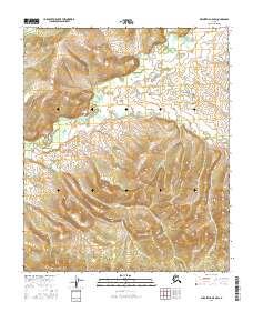
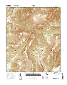
2016 Map of Melozitna A-5 NW
USGS Topo · Published 2016About this map
Interior Alaskan wilderness within the Yukon-Koyukuk region is documented in this 2016 survey, focusing on a landscape defined by sharp elevation shifts and intricate drainage patterns. The terrain transitions between several township and range blocks, including T3s R17e and T4s R17e, where the contour intervals reveal significant ridges and valleys characteristic of the Melozitna area. Unlike more developed regions, this map shows a land largely devoid of named human settlements or infrastructure, emphasizing the natural topography and the Public Land Survey System boundaries that organize this remote territory. The absence of roads or structures highlighted by the U.S. Geological Survey underscores the primitive state of the interior, making it a valuable reference for understanding the physical geography of the Alaskan bush before any modern encroachment.
Find a feature on this map
6 named features on this map. Tap any name to fly to it.
Don’t see what you’re looking for? This feature index may not catch every label — zoom into the map to look around manually.
Map Details
Editions of this 2016 Melozitna A-5 NW Map
This is the sole edition of this map. No revisions or reprints were ever made.
Other maps of this area

1951 · Melozitna
USGS Topo · 1:250,000
1952 · Melozitna A-6
USGS Topo · 1:63,360
1954 · Melozitna A-5
USGS Topo · 1:63,360
1954 · Melozitna B-5
USGS Topo · 1:63,360
1954 · Melozitna B-6
USGS Topo · 1:63,360

1956 · Melozitna
USGS Topo · 1:250,000
2016 · Melozitna B-5 SE
USGS Topo · 1:25,000
2016 · Melozitna A-6 SE
USGS Topo · 1:25,000
2016 · Melozitna A-5 SW
USGS Topo · 1:25,000
2016 · Melozitna B-5 SW
USGS Topo · 1:25,000