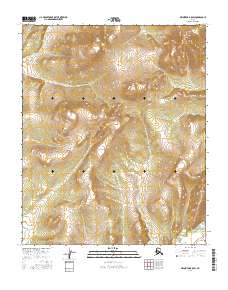
2016 Map of Melozitna B-5 SW
USGS Topo · Published 2016About this map
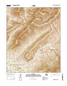
Dulbatna Mtn dominates the northeastern corner of this 2016 topographical study within the Yukon-Koyukuk region. The landscape is characterized by a high-elevation interior where the complex contour lines reveal a series of ridges and steep drainages throughout townships such as t1s r17e and t2s r17e. The map provides a detailed view of the terrain's structure, reflecting the remote and undeveloped nature of this portion of the Alaska interior. The absence of roads or permanent human settlements emphasizes the area's isolation, where land is primarily managed through the public land survey system across several ranges, including t2s r16e and t1s r18e.
Find a feature on this map
10 named features on this map. Tap any name to fly to it.
Don’t see what you’re looking for? This feature index may not catch every label — zoom into the map to look around manually.
Map Details
Editions of this 2016 Melozitna B-5 SW Map
This is the sole edition of this map. No revisions or reprints were ever made.
Other maps of this area

1951 · Melozitna
USGS Topo · 1:250,000
1952 · Melozitna A-6
USGS Topo · 1:63,360
1954 · Melozitna A-5
USGS Topo · 1:63,360
1954 · Melozitna B-5
USGS Topo · 1:63,360
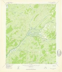
1954 · Melozitna B-6
USGS Topo · 1:63,360

1956 · Melozitna
USGS Topo · 1:250,000
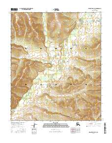
2016 · Melozitna B-5 SE
USGS Topo · 1:25,000
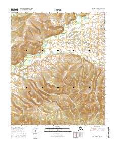
2016 · Melozitna A-5 NW
USGS Topo · 1:25,000
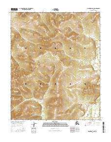
2016 · Melozitna B-5 NE
USGS Topo · 1:25,000
2016 · Melozitna B-6 NE
USGS Topo · 1:25,000