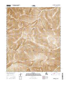
2016 Map of Melozitna B-1 NE
USGS Topo · Published 2016About this map
The interior Alaskan wilderness near the Melozitna River is documented in this high-resolution topographic study, emphasizing the complex terrain and hydrology of the Yukon-Koyukuk region. Organized around the intersection of T1n R27e, T1n R28e, T1s R27e, and T1s R28e, the map provides precise elevation data for the northern reaches of the state. The absence of named human settlements or roads highlights the isolation of this landscape, where natural drainages and seasonal wetlands dictate the character of the environment. Published by the U.S. Geological Survey using 2011 National Hydrography Dataset information and 2015 elevation data, this chart serves as a primary source for understanding the physical geography of this remote territory before any modern industrial or infrastructure changes.
Find a feature on this map
4 named features on this map. Tap any name to fly to it.
Don’t see what you’re looking for? This feature index may not catch every label — zoom into the map to look around manually.
Map Details
Editions of this 2016 Melozitna B-1 NE Map
This is the sole edition of this map. No revisions or reprints were ever made.
Other maps of this area

1951 · Melozitna
USGS Topo · 1:250,000

1951 · Tanana
USGS Topo · 1:250,000

1956 · Melozitna C-1
USGS Topo · 1:63,360

1956 · Melozitna B-1
USGS Topo · 1:63,360

1956 · Tanana B-6
USGS Topo · 1:63,360

1956 · Tanana C-6
USGS Topo · 1:63,360

1956 · Melozitna
USGS Topo · 1:250,000

1956 · Tanana
USGS Topo · 1:250,000

1960 · Tanana
USGS Topo · 1:250,000
2016 · Tanana B-6 SW
USGS Topo · 1:25,000