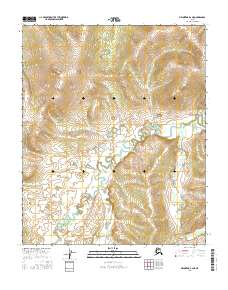
2016 Map of Melozitna B-2 NE
USGS Topo · Published 2016About this map
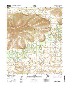
The interior landscape of the Yukon-Koyukuk region is defined by the intersection of four major township and range blocks: T1n R25e, T1n R26e, T1s R25e, and T1s R26e. This 2016 survey illustrates the intricate drainage patterns of the Alaskan wilderness, where meandering waterways and oxbow lakes carve through the valley floors between rising topographic contours. The map provides a precise view of the Public Land Survey System (PLSS) divisions, useful for researchers tracing land records or remote property boundaries within this expansive territory of the Melozitna quadrangle.
Find a feature on this map
4 named features on this map. Tap any name to fly to it.
Don’t see what you’re looking for? This feature index may not catch every label — zoom into the map to look around manually.
Map Details
Editions of this 2016 Melozitna B-2 NE Map
This is the sole edition of this map. No revisions or reprints were ever made.
Other maps of this area

1951 · Melozitna
USGS Topo · 1:250,000

1956 · Melozitna B-2
USGS Topo · 1:63,360

1956 · Melozitna C-1
USGS Topo · 1:63,360

1956 · Melozitna B-1
USGS Topo · 1:63,360
1956 · Melozitna C-2
USGS Topo · 1:63,360

1956 · Melozitna
USGS Topo · 1:250,000
2016 · Melozitna B-2 SW
USGS Topo · 1:25,000
2016 · Melozitna C-1 SW
USGS Topo · 1:25,000
2016 · Melozitna C-2 SW
USGS Topo · 1:25,000
2016 · Melozitna B-2 SE
USGS Topo · 1:25,000