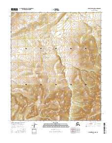
2016 Map of Melozitna B-5 NW
USGS Topo · Published 2016About this map
The Yukon-Koyukuk region of Alaska, as documented in 2016, reveals a landscape defined by dramatic elevation changes and precisely surveyed Public Land Survey System divisions. The map centers on the transition between T1n R16e and T1n R17e in the northern half, and T1s R16e, T1s R17e, and T1s R18e in the southern portion. This area is characterized by dense contour intervals that trace steep ridges and deep valleys, lacking any named settlements or man-made structures in this specific sector. The surveyor's focus remains on the primary land divisions and the natural hydrography, providing a clean record of the interior's topography before any contemporary development or infrastructure appeared on the official record. It is a pure topographic study of Alaskan wilderness terrain.
Find a feature on this map
5 named features on this map. Tap any name to fly to it.
Don’t see what you’re looking for? This feature index may not catch every label — zoom into the map to look around manually.
Map Details
Editions of this 2016 Melozitna B-5 NW Map
This is the sole edition of this map. No revisions or reprints were ever made.
Other maps of this area

1951 · Melozitna
USGS Topo · 1:250,000

1954 · Melozitna C-5
USGS Topo · 1:63,360

1954 · Melozitna C-6
USGS Topo · 1:63,360
1954 · Melozitna B-5
USGS Topo · 1:63,360
1954 · Melozitna B-6
USGS Topo · 1:63,360

1956 · Melozitna
USGS Topo · 1:250,000
2016 · Melozitna B-5 SE
USGS Topo · 1:25,000
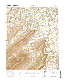
2016 · Melozitna C-5 SW
USGS Topo · 1:25,000
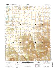
2016 · Melozitna C-5 SE
USGS Topo · 1:25,000
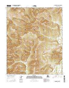
2016 · Melozitna B-5 NE
USGS Topo · 1:25,000