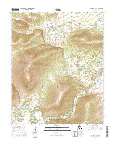
2016 Map of Melozitna C-1 NE
USGS Topo · Published 2016About this map
Highland terrain and complex hydrography characterize this interior region of Alaska, where Tokatjikh Hill serves as a prominent landmark. The landscape is defined by its topographic elevation changes and the intricate network of wetlands and small water bodies that pattern the low-lying areas. The survey highlights the intersection of several townships, including the boundaries of t4n r27e, t4n r28e, and t3n r28e. This 2016 data provides a clear record of the natural landforms in the Yukon-Koyukuk region, reflecting the uninhabited and pristine character of the Alaskan interior. Researchers will find the detailed contouring particularly useful for understanding the drainage patterns and the specific shape of the rising elevations that dominate this quadrangle.
Find a feature on this map
5 named features on this map. Tap any name to fly to it.
Don’t see what you’re looking for? This feature index may not catch every label — zoom into the map to look around manually.
Map Details
Editions of this 2016 Melozitna C-1 NE Map
This is the sole edition of this map. No revisions or reprints were ever made.
Other maps of this area

1951 · Melozitna
USGS Topo · 1:250,000

1951 · Tanana
USGS Topo · 1:250,000

1952 · Melozitna D-1
USGS Topo · 1:63,360

1956 · Melozitna C-1
USGS Topo · 1:63,360

1956 · Tanana C-6
USGS Topo · 1:63,360

1956 · Tanana D-6
USGS Topo · 1:63,360

1956 · Melozitna
USGS Topo · 1:250,000

1956 · Tanana
USGS Topo · 1:250,000

1960 · Tanana
USGS Topo · 1:250,000
2016 · Tanana C-6 SW
USGS Topo · 1:25,000