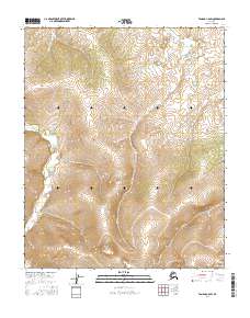
2016 Map of Tanana C-6 SW
USGS Topo · Published 2016About this map
Haha Creek and Melozimoran Creek carve through the high interior of the Yukon-Koyukuk region, defining the drainage patterns of this Alaskan landscape. Surveyed in 2016, the area is characterized by significant elevational change, with the terrain rising to over 2,500 feet in the southern portions of the quadrangle. The map documents the intricate network of seasonal drainages and permanent waterways that feed into the larger Melozitna River system. This cartography provides a precise record of the natural hydrology and land divisions within t8n r26w, t9n r25w, and surrounding townships, capturing the untouched character of the interior before any major industrial or infrastructure developments reached these remote coordinates.
Find a feature on this map
6 named features on this map. Tap any name to fly to it.
Don’t see what you’re looking for? This feature index may not catch every label — zoom into the map to look around manually.
Map Details
Editions of this 2016 Tanana C-6 SW Map
This is the sole edition of this map. No revisions or reprints were ever made.
Other maps of this area

1951 · Melozitna
USGS Topo · 1:250,000

1951 · Tanana
USGS Topo · 1:250,000

1956 · Melozitna C-1
USGS Topo · 1:63,360

1956 · Melozitna B-1
USGS Topo · 1:63,360

1956 · Tanana B-6
USGS Topo · 1:63,360

1956 · Tanana C-6
USGS Topo · 1:63,360

1956 · Melozitna
USGS Topo · 1:250,000

1956 · Tanana
USGS Topo · 1:250,000

1960 · Tanana
USGS Topo · 1:250,000
2016 · Tanana B-6 NW
USGS Topo · 1:25,000