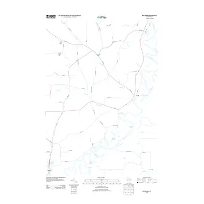
2013 Map of Melrose
USGS Topo · Published 2013About this map
Black River meanders through the heart of this landscape, defining a complex network of backwaters and oxbow lakes that dominate the southern and eastern reaches. The terrain transitions from the alluvial plains of Horse Shoe Lake and Shallow Lake to the distinct elevation of Sugar Loaf, which overlooks the Sugar Loaf Valley to the north. These topographical variations shaped the local settlement patterns, concentrated around the village of Melrose in the southwest and the community of Irving near a sharp bend in the river.
Find a feature on this map
63 named features on this map. Tap any name to fly to it.
Don’t see what you’re looking for? This feature index may not catch every label — zoom into the map to look around manually.
Map Details
Editions of this 2013 Melrose Map
This is the sole edition of this map. No revisions or reprints were ever made.
Other maps of this area

1924 · Black River Falls
USGS Topo · 1:62,500

1926 · Black River Falls
USGS Topo · 1:62,500

1926 · North Bend
USGS Topo · 1:62,500

1927 · Blair
USGS Topo · 1:62,500

1928 · Melrose
USGS Topo · 1:48,000

1929 · North Bend
USGS Topo · 1:62,500

1949 · Melrose
USGS Topo · 1:62,500

1953 · Eau Claire
USGS Topo · 1:250,000

1958 · Eau Claire
USGS Topo · 1:250,000

1964 · Eau Claire
USGS Topo · 1:250,000