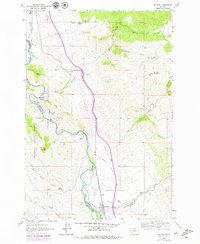
1961 Map of Melrose
USGS Topo · Published 1979About this map
Melrose serves as the focal point for this survey of the high mountain terrain along the Silver Bow County border. The Big Hole River winds through the landscape, flanked by the Union Pacific railroad line and a series of complex irrigation systems including the McCauley Ditch, South Ditch, and Pendergast Ditch. This network of ditches illustrates the historical importance of water management in supporting both the local agricultural efforts and the area's industrial interests.
Find a feature on this map
44 named features on this map. Tap any name to fly to it.
Don’t see what you’re looking for? This feature index may not catch every label — zoom into the map to look around manually.
Map Details
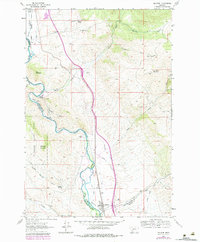
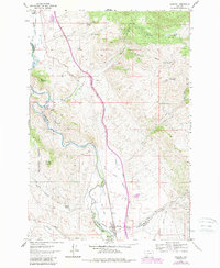
Editions of this 1961 Melrose Map
4 editions found
Other maps of this area

1893 · Dillon
USGS Topo · 1:250,000

1955 · Dillon
USGS Topo · 1:250,000

1957 · Dillon
USGS Topo · 1:250,000

1958 · Dillon
USGS Topo · 1:250,000

1958 · Vipond Park
USGS Topo · 1:62,500

1961 · Melrose
USGS Topo · 1:24,000

1961 · Earls Gulch
USGS Topo · 1:24,000

1961 · Wickiup Creek
USGS Topo · 1:24,000

1961 · Nez Perce Hollow
USGS Topo · 1:24,000

1961 · Butte South
USGS Topo · 1:62,500