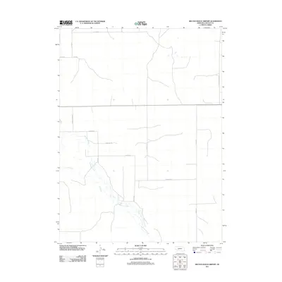
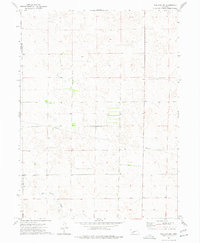
2011 Map of Melton Ranch Airport
USGS Topo · Published 2011About this map
Red Willow Creek and its tributary, Dry Creek, define the drainage patterns of this rural Lincoln County landscape in the early 21st century. The map reveals a highly structured grid of section-line roads, typical of Nebraska's Great Plains agricultural layout, providing essential connectivity for local ranching and farming operations. Key transit corridors include east-west routes like W Creek Rd and W Medicine Rd, which intersect with north-south connectors such as S Lamont Rd and S Willow Rd. Larger arterial roads like S Hershey Dickens Rd and N Wallace Rd link the area to neighboring rural centers. This survey captures a moment of modern land management where traditional watercourses remain the primary geographic anchors amidst an expansive network of named local roads, including the uniquely named W Fear Rd in the north.
Find a feature on this map
13 named features on this map. Tap any name to fly to it.
Don’t see what you’re looking for? This feature index may not catch every label — zoom into the map to look around manually.
Map Details
Editions of this 2011 Melton Ranch Airport Map
This is the sole edition of this map. No revisions or reprints were ever made.
Other maps of this area

1954 · McCook
USGS Topo · 1:250,000

1956 · Dickens
USGS Topo · 1:24,000

1957 · McCook
USGS Topo · 1:250,000

1958 · McCook
USGS Topo · 1:250,000
1970 · Dickens NW
USGS Topo · 1:24,000

1973 · Suttlers Canyon East
USGS Topo · 1:24,000

1973 · Suttlers Canyon West
USGS Topo · 1:24,000
1973 · Wallace NE
USGS Topo · 1:24,000
1973 · Melton Ranch Airport
USGS Topo · 1:24,000
1973 · Wallace NW
USGS Topo · 1:24,000