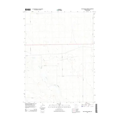
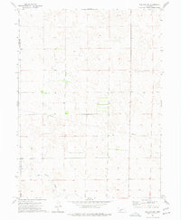
2014 Map of Melton Ranch Airport
USGS Topo · Published 2014About this map
Red Willow Cr and its tributary Dry Cr define the drainage patterns of this rural Lincoln County landscape, carving subtle paths through the Nebraska hills. The area is characterized by a sparse network of section-line roads, many bearing names that hint at the region's agricultural and frontier heritage, such as Prairie Trace Rd and W Burma Rd. This 2014 survey by the U.S. Geological Survey illustrates a modern view of the open ranch land near the Red Willow Cr valley, where large-scale land management and traditional western cattle country intersect. The layout of roads like Medicine Rd and Dickens Rd highlights the enduring importance of established travel corridors in maintaining the connectivity of this expansive high plains terrain.
Find a feature on this map
12 named features on this map. Tap any name to fly to it.
Don’t see what you’re looking for? This feature index may not catch every label — zoom into the map to look around manually.
Map Details
Editions of this 2014 Melton Ranch Airport Map
This is the sole edition of this map. No revisions or reprints were ever made.
Other maps of this area

1954 · McCook
USGS Topo · 1:250,000

1956 · Dickens
USGS Topo · 1:24,000

1957 · McCook
USGS Topo · 1:250,000

1958 · McCook
USGS Topo · 1:250,000
1970 · Dickens NW
USGS Topo · 1:24,000

1973 · Suttlers Canyon East
USGS Topo · 1:24,000

1973 · Suttlers Canyon West
USGS Topo · 1:24,000
1973 · Wallace NE
USGS Topo · 1:24,000
1973 · Melton Ranch Airport
USGS Topo · 1:24,000
1973 · Wallace NW
USGS Topo · 1:24,000