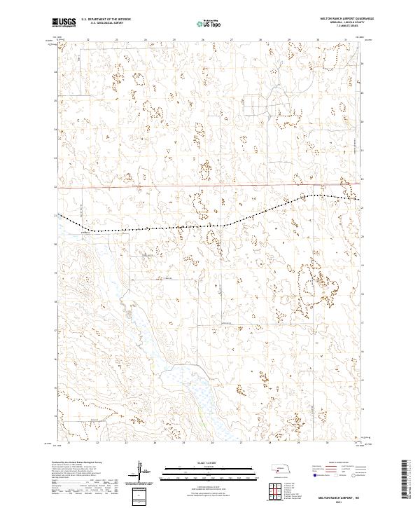
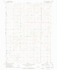
2021 Map of Melton Ranch Airport
USGS Topo · Published 2021About this map
Medicine Creek drainage patterns and the isolated ranching infrastructure of Lincoln County define this section of the Nebraska Sandhills. The landscape is marked by a network of rural routes that follow the section lines and natural contours of the terrain, including the evocatively named Fear Rd and Prairie Trace Rd. This 2021 survey illustrates how modern ranching operations continue to utilize historic paths such as Creek Rd and Medicine Rd to navigate the undulating topography. Unlike more densely settled regions, this area is characterized by vast open spaces where the primary landmarks are specific road junctions like N Wallace Rd or the remote Burma Rd in the south, reflecting a settlement pattern focused on livestock and land management rather than concentrated townships.
Find a feature on this map
14 named features on this map. Tap any name to fly to it.
Don’t see what you’re looking for? This feature index may not catch every label — zoom into the map to look around manually.
Map Details
Editions of this 2021 Melton Ranch Airport Map
This is the sole edition of this map. No revisions or reprints were ever made.
Other maps of this area

1954 · McCook
USGS Topo · 1:250,000

1956 · Dickens
USGS Topo · 1:24,000

1957 · McCook
USGS Topo · 1:250,000

1958 · McCook
USGS Topo · 1:250,000
1970 · Dickens NW
USGS Topo · 1:24,000

1973 · Suttlers Canyon East
USGS Topo · 1:24,000

1973 · Suttlers Canyon West
USGS Topo · 1:24,000
1973 · Wallace NE
USGS Topo · 1:24,000
1973 · Melton Ranch Airport
USGS Topo · 1:24,000
1973 · Wallace NW
USGS Topo · 1:24,000