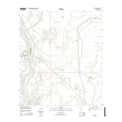
2015 Map of Melville
USGS Topo · Published 2015About this map
The Atchafalaya River defines the western edge of this landscape, separating Melville in St. Landry Parish from the sprawling wetlands of Pointe Coupee Parish. This region is a complex network of hydrologic features, including the Melville Crevasse and a dense web of waterways such as Cowhead Bayou, Prader Bayou, and Bayou Latenache. The eastern portion of the map is dominated by the Morganza Floodway, a critical component of the area's flood control infrastructure.
Find a feature on this map
54 named features on this map. Tap any name to fly to it.
Don’t see what you’re looking for? This feature index may not catch every label — zoom into the map to look around manually.
Map Details
Editions of this 2015 Melville Map
This is the sole edition of this map. No revisions or reprints were ever made.
Other maps of this area

1939 · Fordoche
USGS Topo · 1:62,500

1941 · Batchelor
USGS Topo · 1:62,500

1954 · Fordoche
USGS Topo · 1:24,000

1954 · Baton Rouge
USGS Topo · 1:250,000

1955 · Fordoche
USGS Topo · 1:62,500

1955 · Batchelor
USGS Topo · 1:62,500

1955 · Odenburg
USGS Topo · 1:62,500

1956 · Baton Rouge
USGS Topo · 1:250,000

1959 · Fordoche
USGS Topo · 1:62,500

1959 · Palmetto
USGS Topo · 1:62,500