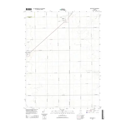
2015 Map of Melvin East
USGS Topo · Published 2015About this map
The agricultural landscape of Ford County is defined by a rigid grid of section roads and small rail-oriented settlements. Melvin and Roberts serve as the primary hubs on this survey, where the town layouts transition from the surrounding rural routes like North 1400E Rd into more developed grids including N Center St and W Green St. This area highlights the importance of drainage in the prairie landscape, evidenced by the channel of the Big Four Ditch cutting across the southern portion of the quadrangle. For genealogists, the Melvin Cem north of the Melvin townsite provides a specific point of interest. The map also captures the political boundary between Livingston Co and Ford Co in the northwest corner, illustrating how modern township lines continue to follow the early 19th-century land office surveys.
Find a feature on this map
29 named features on this map. Tap any name to fly to it.
Don’t see what you’re looking for? This feature index may not catch every label — zoom into the map to look around manually.
Map Details
Editions of this 2015 Melvin East Map
This is the sole edition of this map. No revisions or reprints were ever made.
Other maps of this area

1924 · Paxton
USGS Topo · 1:62,500

1927 · Paxton
USGS Topo · 1:62,500

1928 · Gibson City
USGS Topo · 1:62,500

1947 · Sibley
USGS Topo · 1:62,500

1948 · Buckley
USGS Topo · 1:62,500

1949 · Buckley
USGS Topo · 1:62,500

1949 · Paxton
USGS Topo · 1:62,500

1949 · Sibley
USGS Topo · 1:62,500

1957 · Paxton
USGS Topo · 1:62,500

1957 · Gibson City
USGS Topo · 1:62,500