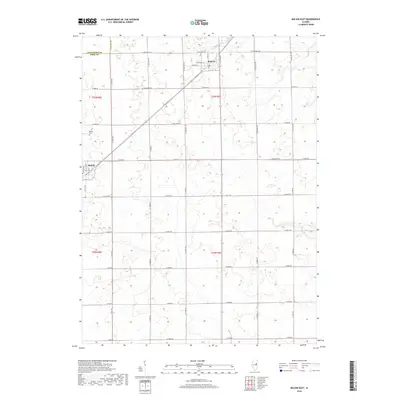
2018 Map of Melvin East
USGS Topo · Published 2018About this map
Roberts and Melvin anchor this section of the Illinois prairie, where the landscape is defined by the rigid geometry of the Public Land Survey System. The map documents a predominantly agricultural region at the border of Livingston and Ford Counties, characterized by an extensive grid of section-line roads like N 1400 East Rd and E 1100 N Rd. In the village of Roberts, the concentration of infrastructure around W Weldon St and W Green St, including the local Po, suggests a classic Midwestern rail-stop layout. Further west, Melvin Cem serves as a significant landmark for genealogists and local historians tracking the early families of the area. The terrain is remarkably level, punctuated only by small depressions and the organized drainage typical of high-yield farmland in the late twenty-first century.
Find a feature on this map
40 named features on this map. Tap any name to fly to it.
Don’t see what you’re looking for? This feature index may not catch every label — zoom into the map to look around manually.
Map Details
Editions of this 2018 Melvin East Map
This is the sole edition of this map. No revisions or reprints were ever made.
Other maps of this area

1924 · Paxton
USGS Topo · 1:62,500

1927 · Paxton
USGS Topo · 1:62,500

1928 · Gibson City
USGS Topo · 1:62,500

1947 · Sibley
USGS Topo · 1:62,500

1948 · Buckley
USGS Topo · 1:62,500

1949 · Buckley
USGS Topo · 1:62,500

1949 · Paxton
USGS Topo · 1:62,500

1949 · Sibley
USGS Topo · 1:62,500

1957 · Paxton
USGS Topo · 1:62,500

1957 · Gibson City
USGS Topo · 1:62,500