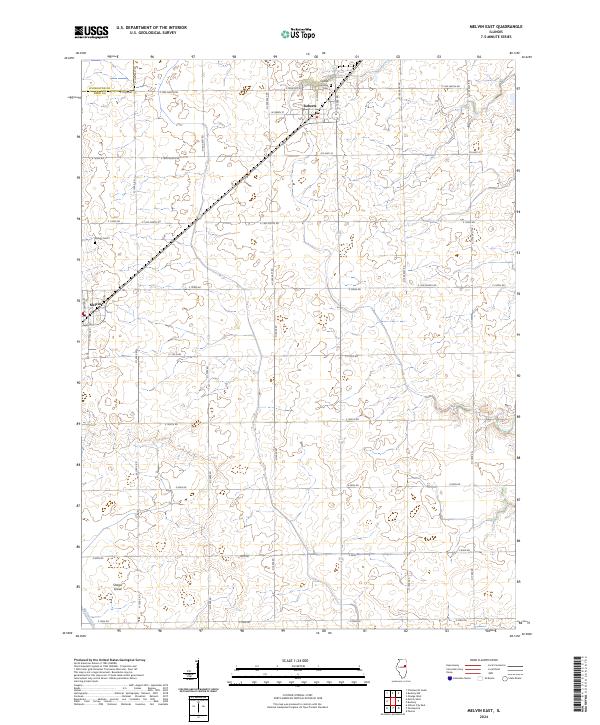
2024 Map of Melvin East
USGS Topo · Published 2024About this map
Roberts and Melvin anchor this portion of the Illinois prairie in Ford County, where the landscape is defined by a rigorous section-line road grid and extensive agricultural drainage. The village of Roberts is the primary settlement, featuring a Po and the Lyman Township Cem at its northern edge. The transition from the flat uplands to the engineered waterways of the Big Four Ditch system highlights the human transformation of this fertile territory for large-scale farming.
Find a feature on this map
38 named features on this map. Tap any name to fly to it.
Don’t see what you’re looking for? This feature index may not catch every label — zoom into the map to look around manually.
Map Details
Editions of this 2024 Melvin East Map
This is the sole edition of this map. No revisions or reprints were ever made.
Other maps of this area

1924 · Paxton
USGS Topo · 1:62,500

1927 · Paxton
USGS Topo · 1:62,500

1928 · Gibson City
USGS Topo · 1:62,500

1947 · Sibley
USGS Topo · 1:62,500

1948 · Buckley
USGS Topo · 1:62,500

1949 · Buckley
USGS Topo · 1:62,500

1949 · Paxton
USGS Topo · 1:62,500

1949 · Sibley
USGS Topo · 1:62,500

1957 · Paxton
USGS Topo · 1:62,500

1957 · Gibson City
USGS Topo · 1:62,500