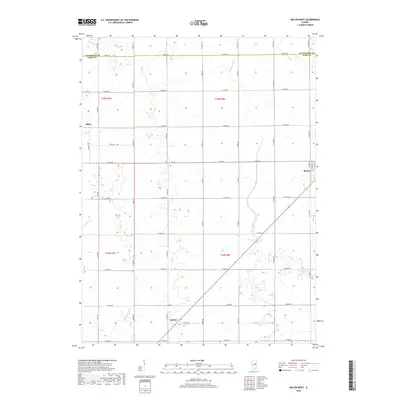
2018 Map of Melvin West
USGS Topo · Published 2018About this map
Melvin and Sibley anchor this portion of the Illinois prairie in Ford County, where the landscape is meticulously organized by the Public Land Survey System. The map reveals a strictly regulated agricultural grid, with rural routes like E 1500n RD and N 700 E RD forming the primary framework for local travel between farmsteads. Water management is a defining characteristic of this terrain, visible through features such as the Big Four Ditch and the meandering path of Drummer Cr. These drainage patterns, including Dickerson Slough, illustrate the region's transition from original wetlands to highly productive farmland. The presence of the small settlement at Guthrie along the southern edge and the boundary line between Livingston Co and Ford Co provide essential reference points for genealogists and local historians tracing property lines and family origins in this quintessential Midwestern township setting.
Find a feature on this map
41 named features on this map. Tap any name to fly to it.
Don’t see what you’re looking for? This feature index may not catch every label — zoom into the map to look around manually.
Map Details
Editions of this 2018 Melvin West Map
This is the sole edition of this map. No revisions or reprints were ever made.
Other maps of this area

1924 · Paxton
USGS Topo · 1:62,500

1927 · Paxton
USGS Topo · 1:62,500

1928 · Gibson City
USGS Topo · 1:62,500

1947 · Sibley
USGS Topo · 1:62,500

1948 · Buckley
USGS Topo · 1:62,500

1949 · Buckley
USGS Topo · 1:62,500

1949 · Paxton
USGS Topo · 1:62,500

1949 · Sibley
USGS Topo · 1:62,500

1957 · Paxton
USGS Topo · 1:62,500

1957 · Gibson City
USGS Topo · 1:62,500