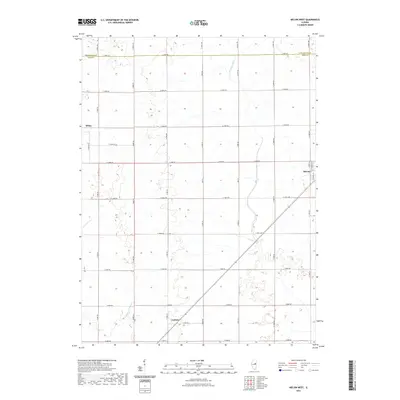
2021 Map of Melvin West
USGS Topo · Published 2021About this map
The agrarian landscape of Ford County, Illinois, is defined by its rectilinear grid and systematic drainage network. In this central Illinois region, the village of Melvin sits at the eastern edge of the quadrangle, serving as a focal point for the surrounding farmstead roads. To the west, the settlement of Sibley and the community of Guthrie are linked by a complex web of named rural routes, including Co Hwy 24 and E 1000N Rd. The terrain is shaped by vital water management features such as Big Four Ditch and Dickerson Slough, which facilitate drainage across the flat prairie lands. To the north, the boundary between Livingston Co and Ford Co follows E 1500N Rd, while Indian Cr and Drummer Cr provide the primary natural drainage for these fertile agricultural townships.
Find a feature on this map
38 named features on this map. Tap any name to fly to it.
Don’t see what you’re looking for? This feature index may not catch every label — zoom into the map to look around manually.
Map Details
Editions of this 2021 Melvin West Map
This is the sole edition of this map. No revisions or reprints were ever made.
Other maps of this area

1924 · Paxton
USGS Topo · 1:62,500

1927 · Paxton
USGS Topo · 1:62,500

1928 · Gibson City
USGS Topo · 1:62,500

1947 · Sibley
USGS Topo · 1:62,500

1948 · Buckley
USGS Topo · 1:62,500

1949 · Buckley
USGS Topo · 1:62,500

1949 · Paxton
USGS Topo · 1:62,500

1949 · Sibley
USGS Topo · 1:62,500

1957 · Paxton
USGS Topo · 1:62,500

1957 · Gibson City
USGS Topo · 1:62,500