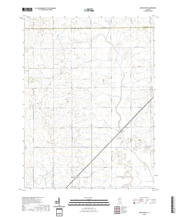
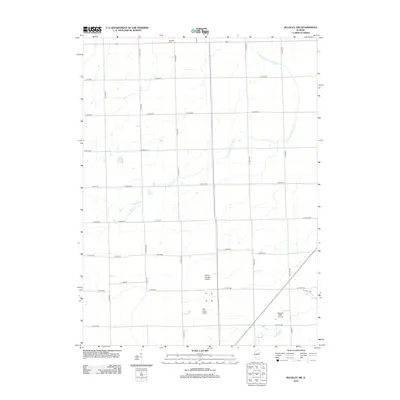
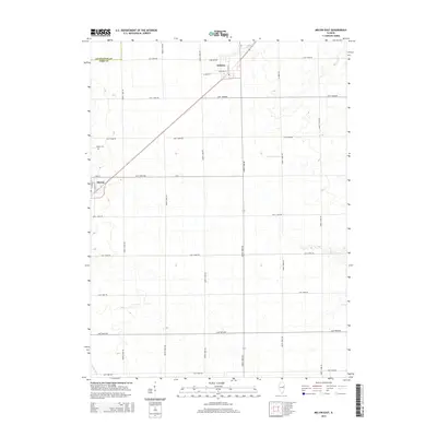
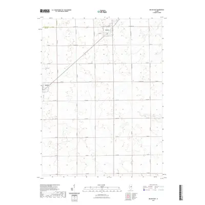
2024 Map of Melvin West
USGS Topo · Published 2024About this map
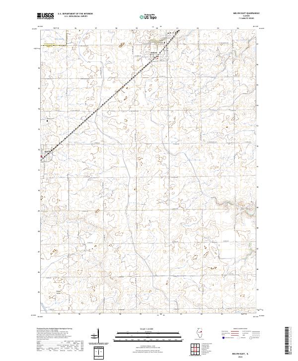
Guthrie sits near the southern edge of this agricultural landscape in central Illinois, providing a focal point for the surrounding rural road network. The terrain is defined by its drainage patterns, notably the path of Indian Creek in the northwest and Big Four Ditch traversing the northern and eastern sections. The township's gridded layout is marked by thoroughfares such as E 1500N Rd and N 1000E Rd, which facilitate transport across the county line between Livingston Co and Ford Co. South of the main settlement, Dickerson Slough meanders through the low-lying areas, illustrating the hydrological character of this prairie region. This survey captures a specific moment in the rural development of Ford County, documenting the precise intersections and water management features that sustain its agricultural economy.
Find a feature on this map
36 named features on this map. Tap any name to fly to it.
Don’t see what you’re looking for? This feature index may not catch every label — zoom into the map to look around manually.
Map Details
Editions of this 2024 Melvin West Map
This is the sole edition of this map. No revisions or reprints were ever made.
Historical Maps of Melvin Through Time
36 maps found
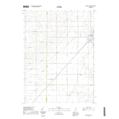
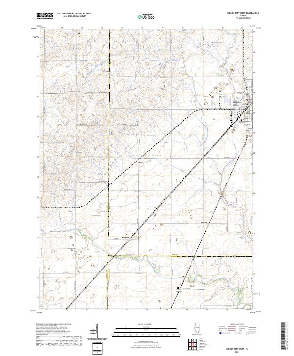
1982 Gibson City West
Ford County, IL
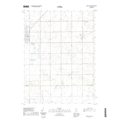
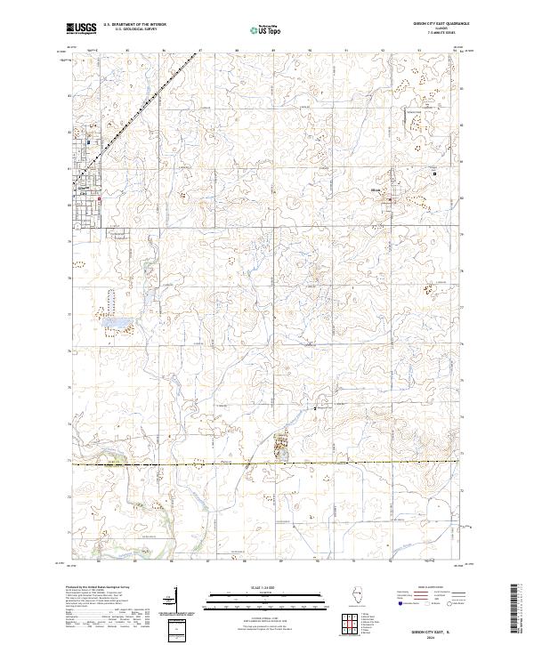
1983 Gibson City East
Ford County, IL
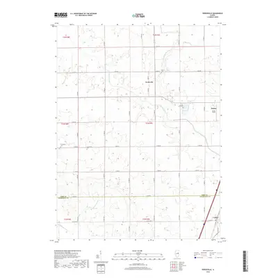
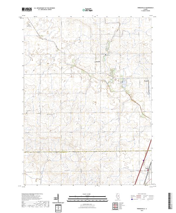
1984 Perdueville
Ford County, IL
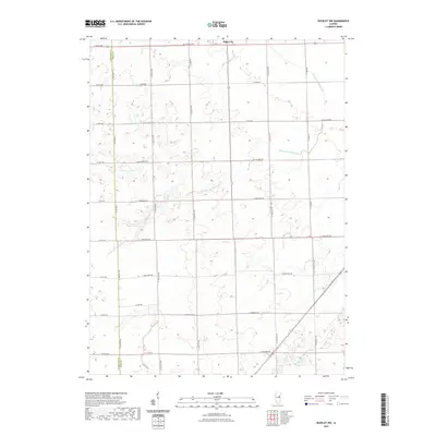
1986 Buckley NW
Ford County, IL
1986 Melvin East
Ford County, IL
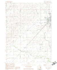
1986 Melvin West
Ford County, IL
2012 Buckley NW
Ford County, IL
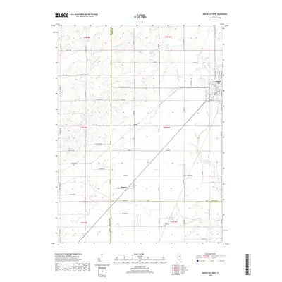
2012 Gibson City East
Ford County, IL
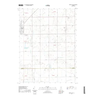
2012 Gibson City West
Ford County, IL
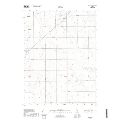
2012 Melvin East
Ford County, IL
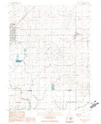
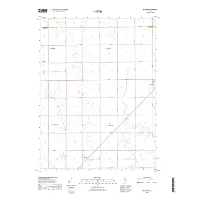
2012 Melvin West
Ford County, IL
2012 Perdueville
Ford County, IL
2015 Buckley NW
Ford County, IL
2015 Gibson City East
Ford County, IL
2015 Gibson City West
Ford County, IL
2015 Melvin East
Ford County, IL
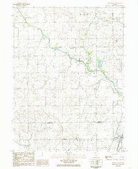
2015 Melvin West
Ford County, IL
2015 Perdueville
Ford County, IL
2018 Buckley NW
Ford County, IL
2018 Gibson City East
Ford County, IL
2018 Gibson City West
Ford County, IL
2018 Melvin East
Ford County, IL
2018 Melvin West
Ford County, IL
2018 Perdueville
Ford County, IL
2021 Buckley NW
Ford County, IL
2021 Gibson City East
Ford County, IL
2021 Gibson City West
Ford County, IL
2021 Melvin East
Ford County, IL
2021 Melvin West
Ford County, IL
2021 Perdueville
Ford County, IL
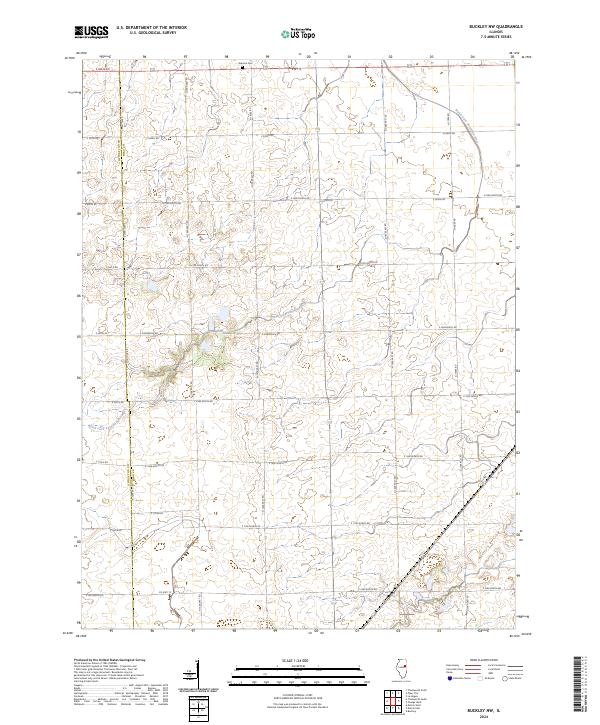
2024 Buckley NW
Ford County, IL
2024 Gibson City East
Ford County, IL
2024 Gibson City West
Ford County, IL
2024 Melvin East
Ford County, IL
2024 Melvin West
Ford County, IL
2024 Perdueville
Ford County, IL