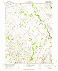
1961 Map of Memphis
USGS Topo · Published 1962About this map
The Virginia Military District landscape of central Ohio is defined by its early road network and agricultural boundaries in this 1961 survey. Settlement is concentrated around Sabina and the small hamlet of Memphis, where family and community heritage is preserved in numerous burial grounds like Richland Cem and Luttrell Cem. The topography is shaped by the winding course of Rattlesnake Creek and its various tributaries, including Lees Creek and Rhonemus Br.
Find a feature on this map
50 named features on this map. Tap any name to fly to it.
Don’t see what you’re looking for? This feature index may not catch every label — zoom into the map to look around manually.
Map Details
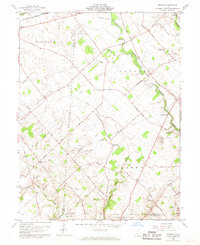
Editions of this 1961 Memphis Map
2 editions found
Other maps of this area

1906 · Mt Sterling
USGS Topo · 1:62,500

1916 · Octa
USGS Topo · 1:62,500

1917 · Greenfield
USGS Topo · 1:62,500

1917 · Sabina
USGS Topo · 1:62,500

1943 · Sabina
USGS Topo · 1:62,500

1944 · Greenfield
USGS Topo · 1:62,500

1944 · Octa
USGS Topo · 1:62,500

1947 · Columbus
USGS Topo · 1:250,000

1960 · Greenfield
USGS Topo · 1:24,000
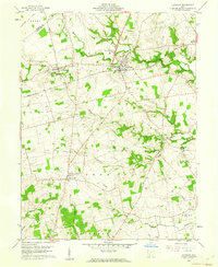
1960 · Leesburg
USGS Topo · 1:24,000