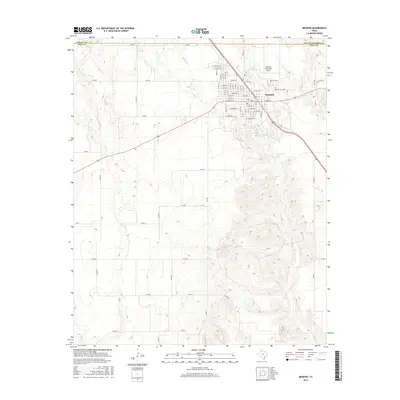
2016 Map of Memphis
USGS Topo · Published 2016About this map
Memphis serves as the focal point of this Hall County survey, situated where the high plains begin to break into the drainage systems of the Red River basin. The town's grid is clearly defined, featuring prominent thoroughfares like W Main St and E Noel St, while the Memphis Municipal Airport sits just to the northeast. This 2016 data illustrates a landscape dominated by ranching and agricultural infrastructure, with a dense network of county roads such as Co RD A and Co RD 21 providing access to the surrounding rangeland.
Find a feature on this map
71 named features on this map. Tap any name to fly to it.
Don’t see what you’re looking for? This feature index may not catch every label — zoom into the map to look around manually.
Map Details
Editions of this 2016 Memphis Map
This is the sole edition of this map. No revisions or reprints were ever made.
Other maps of this area

1954 · Plainview
USGS Topo · 1:250,000

1958 · Plainview
USGS Topo · 1:250,000

1961 · Memphis
USGS Topo · 1:62,500

1961 · Estelline
USGS Topo · 1:62,500

1963 · Hedley
USGS Topo · 1:24,000

1963 · Giles
USGS Topo · 1:24,000

1964 · Rolla SW
USGS Topo · 1:24,000

1976 · Memphis NW
USGS Topo · 1:24,000

1976 · Memphis SE
USGS Topo · 1:24,000

1976 · Memphis NE
USGS Topo · 1:24,000