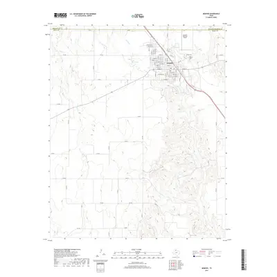
2019 Map of Memphis
USGS Topo · Published 2019About this map
Memphis serves as the focal point of this Hall County survey, situated at the intersection of several significant local routes and watercourses. The town's layout is defined by a dense grid of streets such as Grundy St, Brumley St, and Delaney Ave, reflecting its role as a regional hub. To the northeast, the Memphis Municipal Airport and the presence of both the Fairview Cem and the Old Fairview Cem provide touchpoints for local history and genealogical research.
Find a feature on this map
75 named features on this map. Tap any name to fly to it.
Don’t see what you’re looking for? This feature index may not catch every label — zoom into the map to look around manually.
Map Details
Editions of this 2019 Memphis Map
This is the sole edition of this map. No revisions or reprints were ever made.
Other maps of this area

1954 · Plainview
USGS Topo · 1:250,000

1958 · Plainview
USGS Topo · 1:250,000

1961 · Memphis
USGS Topo · 1:62,500

1961 · Estelline
USGS Topo · 1:62,500

1963 · Hedley
USGS Topo · 1:24,000

1963 · Giles
USGS Topo · 1:24,000

1964 · Rolla SW
USGS Topo · 1:24,000

1976 · Memphis NW
USGS Topo · 1:24,000

1976 · Memphis SE
USGS Topo · 1:24,000

1976 · Memphis NE
USGS Topo · 1:24,000