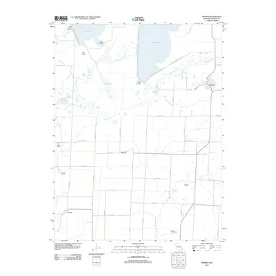
2012 Map of Mendon
USGS Topo · Published 2012About this map
Swan Lake National Wildlife Ref dominates the northern landscape of this Missouri quadrangle, where a complex system of water management including Levee 5-Swan Lake Dam and Levee 3-Silver Lake Dam shapes the habitat. The area is defined by its low-lying hydrology, with Yellow Creek and Elk Creek winding through the terrain near Hog Ridge.
Find a feature on this map
51 named features on this map. Tap any name to fly to it.
Don’t see what you’re looking for? This feature index may not catch every label — zoom into the map to look around manually.
Map Details
Editions of this 2012 Mendon Map
This is the sole edition of this map. No revisions or reprints were ever made.
Other maps of this area

1890 · Marshall
USGS Topo · 1:125,000

1892 · Marshall
USGS Topo · 1:125,000

1901 · Marshall
USGS Topo · 1:125,000

1924 · Hale
USGS Topo · 1:62,500

1949 · Mendon
USGS Topo · 1:24,000

1949 · Indian Grove
USGS Topo · 1:24,000

1949 · Sumner
USGS Topo · 1:24,000

1949 · Rothville
USGS Topo · 1:24,000

1950 · Sumner
USGS Topo · 1:24,000

1950 · Rothville
USGS Topo · 1:24,000