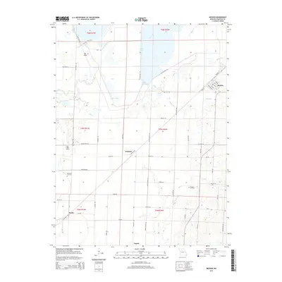
2015 Map of Mendon
USGS Topo · Published 2015About this map
Mendon is the primary settlement on this landscape, with its residential grid structured around streets like Main St and Brunswick St. The surrounding terrain is defined by complex drainage systems and floodplains, where Yellow Creek and Hickory Branch meander through the prairie before reaching larger wetland bodies. Significant conservation and water management features are evident to the north and west, including the Swan Lake Pool and Silver Lake Pool, which dominate the low-lying areas near Hog Ridge.
Find a feature on this map
67 named features on this map. Tap any name to fly to it.
Don’t see what you’re looking for? This feature index may not catch every label — zoom into the map to look around manually.
Map Details
Editions of this 2015 Mendon Map
This is the sole edition of this map. No revisions or reprints were ever made.
Other maps of this area

1890 · Marshall
USGS Topo · 1:125,000

1892 · Marshall
USGS Topo · 1:125,000

1901 · Marshall
USGS Topo · 1:125,000

1924 · Hale
USGS Topo · 1:62,500

1949 · Mendon
USGS Topo · 1:24,000

1949 · Indian Grove
USGS Topo · 1:24,000

1949 · Sumner
USGS Topo · 1:24,000

1949 · Rothville
USGS Topo · 1:24,000

1950 · Sumner
USGS Topo · 1:24,000

1950 · Rothville
USGS Topo · 1:24,000