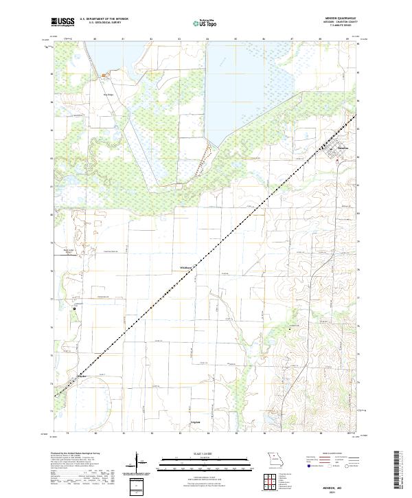
2021 Map of Mendon
USGS Topo · Published 2021About this map
Mendon stands at the northeastern edge of this Chariton County landscape, where a grid of local streets like Main St and Commercial ST meet the agricultural lands of northern Missouri. The terrain is defined by the wetlands and drainage systems of Elk Creek and Yellow Cr, which feed into South Lake and Craddock Lake. This survey captures a region of dispersed rural settlements, including Whitham, Snyder, and the northern edge of Triplett. Genealogy researchers will find several family-named landmarks and burial sites, notably Stephenson Cem near Stephenson Rd and Jackson Cem located further east. The low-lying character of the land is emphasized by Hog Ridge and the winding course of Salt Cr to the south. Eagle Lodge Airport serves as a modern navigation point amidst a network of county roads that have long connected these farming communities.
Find a feature on this map
53 named features on this map. Tap any name to fly to it.
Don’t see what you’re looking for? This feature index may not catch every label — zoom into the map to look around manually.
Map Details
Editions of this 2021 Mendon Map
This is the sole edition of this map. No revisions or reprints were ever made.
Other maps of this area

1890 · Marshall
USGS Topo · 1:125,000

1892 · Marshall
USGS Topo · 1:125,000

1901 · Marshall
USGS Topo · 1:125,000

1924 · Hale
USGS Topo · 1:62,500

1949 · Mendon
USGS Topo · 1:24,000

1949 · Indian Grove
USGS Topo · 1:24,000

1949 · Sumner
USGS Topo · 1:24,000

1949 · Rothville
USGS Topo · 1:24,000

1950 · Sumner
USGS Topo · 1:24,000

1950 · Rothville
USGS Topo · 1:24,000