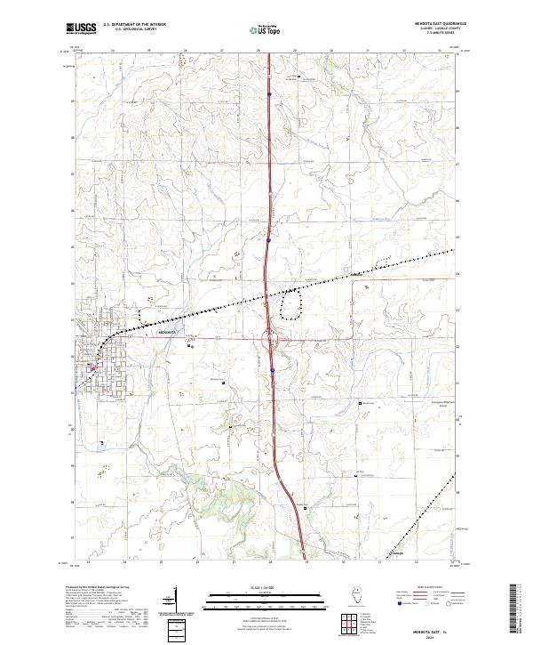
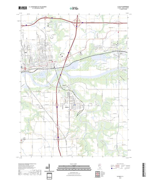
2024 Map of Mendota East
USGS Topo · Published 2024About this map
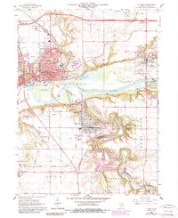
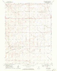
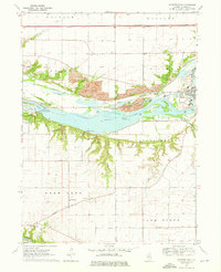
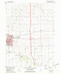
Mendota serves as the primary urban center for this LaSalle County landscape, where the established grid of the town site meets the sprawling agricultural acreage of the Illinois prairie. The Little Vermilion River and Vermilion Creek carve meandering paths through the terrain, contrasting with the rigid geometry of the county road system, including Co Hwy 19 and Co Hwy 50. Several family and community burial grounds, such as Four Mile Grove Cem, Worsley Cem, and Wisner Cem, are preserved across the rural sections, offering a look at the generational settlement patterns of the region. The map also traces the smaller hamlets of Meriden and Triumph, and identifies the Younglove/Otterbach Airport north of the latter, illustrating the mix of traditional farming life and aviation infrastructure in north-central Illinois.
Find a feature on this map
75 named features on this map. Tap any name to fly to it.
Don’t see what you’re looking for? This feature index may not catch every label — zoom into the map to look around manually.
Map Details
Editions of this 2024 Mendota East Map
This is the sole edition of this map. No revisions or reprints were ever made.
Historical Maps of Meriden Through Time
16 maps found
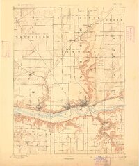
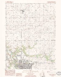
1893 Lasalle
LaSalle County, IL

1911 La Salle
LaSalle County, IL
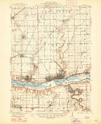
1913 La Salle
LaSalle County, IL
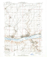
1947 La Salle
LaSalle County, IL
1966 La Salle
LaSalle County, IL
1970 Prairie Center
LaSalle County, IL
1970 Starved Rock
LaSalle County, IL
1982 Mendota East
LaSalle County, IL
1983 Streator North
LaSalle County, IL
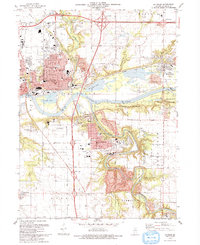
1993 La Salle
LaSalle County, IL
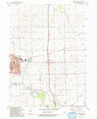
1993 Mendota East
LaSalle County, IL
2024 La Salle
LaSalle County, IL
2024 Mendota East
LaSalle County, IL
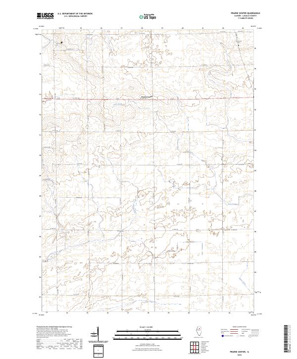
2024 Prairie Center
LaSalle County, IL
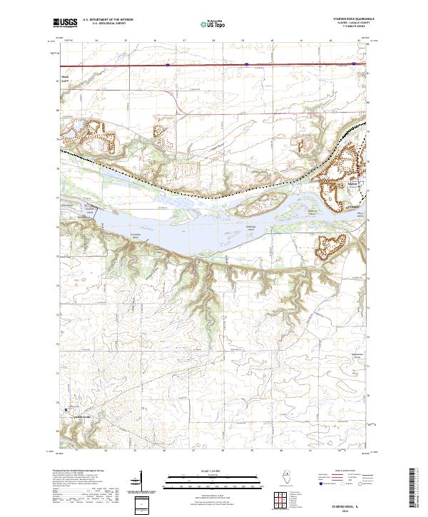
2024 Starved Rock
LaSalle County, IL
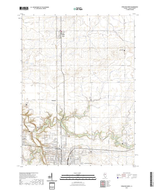
2024 Streator North
LaSalle County, IL
Featured Locations
- LaSalle County, IL
- Mendota Township, IL
- Meriden Township, IL
- Mendota, Mendota Township
- Meriden, Meriden Township