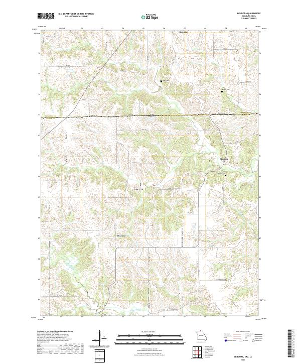
2021 Map of Mendota
USGS Topo · Published 2021About this map
State Line Road serves as the dividing line between Iowa and Missouri on this topographic study, where the rolling hills of Appanoose and Putnam counties meet. The small settlement of Mendota occupies the center of the Missouri side, positioned near Mendota Cemetery and the headwaters of Sandy Creek. To the south, Howland sits atop a ridge overlooking the winding drainage of North Blackbird Creek, while Cincinnati anchors the northern Iowa section.
Find a feature on this map
36 named features on this map. Tap any name to fly to it.
Don’t see what you’re looking for? This feature index may not catch every label — zoom into the map to look around manually.
Map Details
Editions of this 2021 Mendota Map
This is the sole edition of this map. No revisions or reprints were ever made.
Historical Maps of Iowa Through Time
18 maps found

1964 Pollock NW
Putnam County, MO

1964 Unionville West
Putnam County, MO
1974 Green City NE
Putnam County, MO
1974 Green City NW
Putnam County, MO
1979 Graysville
Putnam County, MO
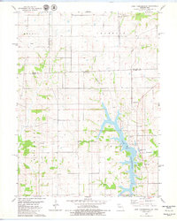
1979 Lake Thunderhead
Putnam County, MO
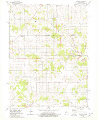
1979 Mendota
Putnam County, MO
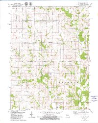
1979 St. John
Putnam County, MO
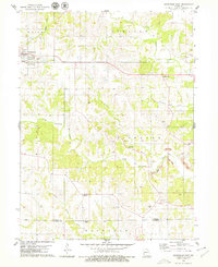
1979 Unionville East
Putnam County, MO
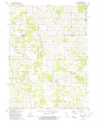
1980 Omaha
Putnam County, MO
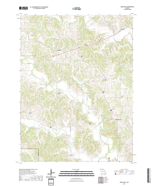
2021 Graysville
Putnam County, MO
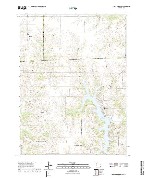
2021 Lake Thunderhead
Putnam County, MO
2021 Mendota
Putnam County, MO
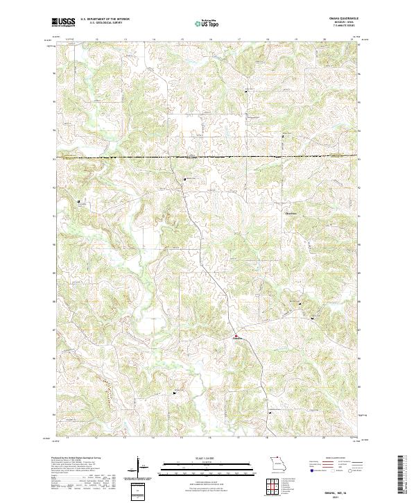
2021 Omaha
Putnam County, MO
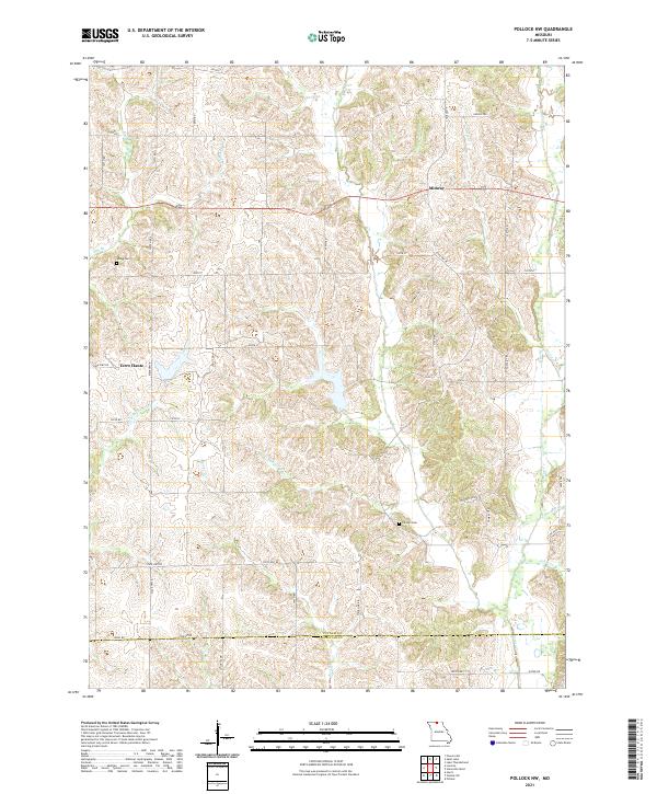
2021 Pollock NW
Putnam County, MO
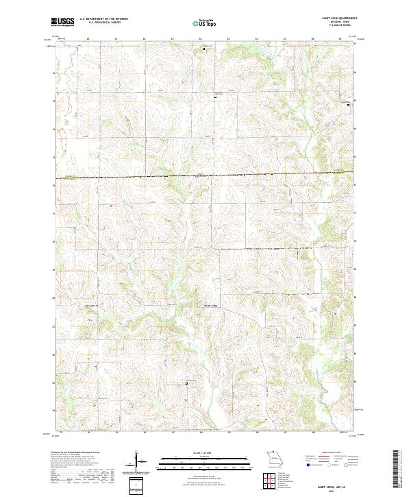
2021 Saint John
Putnam County, MO
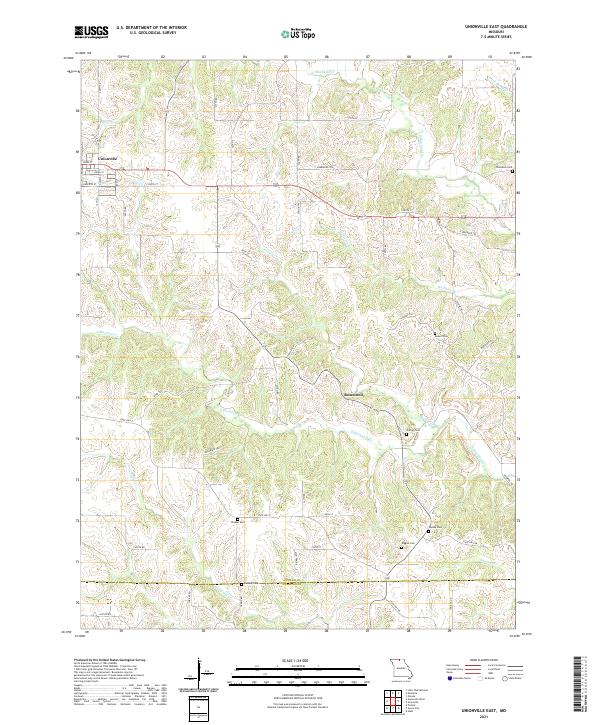
2021 Unionville East
Putnam County, MO
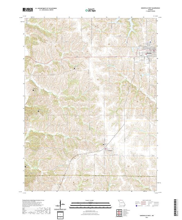
2021 Unionville West
Putnam County, MO