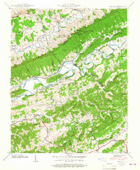
1938 Map of Mendota
USGS Topo · Published 1967About this map
The North Fork Holston River carves a winding path through the valley between Clinch Mountain and Dickey Mountain, serving as a primary corridor for the Southern Railway. Near the settlement of Mendota, the landscape is dotted with small-scale industry and community hubs, including the Barker Mill and the industrial site of Silica. The distribution of family-named landmarks such as the Fleenor Mill Ford Cem and Fugate Cem reflects the deep-rooted agricultural and rural settlement patterns of this section of Washington and Scott Counties. Beyond the river bottom, the map documents a network of rural schools like Love Memorial Sch and Taylor Sch, alongside numerous mountain gaps such as Fugate Gap and Foley Gap that provided essential passage through the steep ridges of Poor Valley.
Find a feature on this map
80 named features on this map. Tap any name to fly to it.
Don’t see what you’re looking for? This feature index may not catch every label — zoom into the map to look around manually.
Map Details
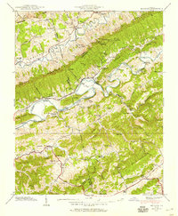
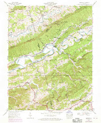
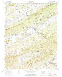
Editions of this 1938 Mendota Map
4 editions found
Other maps of this area

1897 · Bristol
USGS Topo · 1:125,000

1902 · Bristol
USGS Topo · 1:125,000

1918 · Carterton
USGS Topo · 1:62,500

1920 · Coeburn
USGS Topo · 1:48,000

1934 · Wallace
USGS Topo · 1:24,000

1934 · Hansonville
USGS Topo · 1:24,000

1934 · Bristol
USGS Topo · 1:24,000

1935 · Hilton
USGS Topo · 1:24,000

1935 · Mendota
USGS Topo · 1:24,000

1935 · Blountville
USGS Topo · 1:24,000