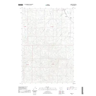
2020 Map of Menlo
USGS Topo · Published 2020About this map
The Willapa River winds through the northern reaches of this Pacific County landscape, anchoring the historic community of Menlo and the surrounding Willapa Valley. This modern survey highlights a region defined by its complex drainage network, where the S Fork Willapa River and numerous tributaries like Middle Fork Rue Cr and Stringer Cr carve through the timbered uplands. The Willapa Hills State Park Trail follows a former railroad corridor, tracing the valley floor near the Willapa River Bridge. To the south, the terrain rises toward the headwaters of the N Naselle River. The map meticulously documents a network of timber access roads, such as Mc Corkle B Line Rd and A Line Rd, which weave through the townships of t13n r8w and t12n r8w, illustrating the ongoing importance of the forestry industry to the local economy.
Find a feature on this map
32 named features on this map. Tap any name to fly to it.
Don’t see what you’re looking for? This feature index may not catch every label — zoom into the map to look around manually.
Map Details
Editions of this 2020 Menlo Map
This is the sole edition of this map. No revisions or reprints were ever made.
Other maps of this area

1938 · Fort Columbia
USGS Topo · 1:62,500

1938 · South Bend
USGS Topo · 1:62,500

1940 · Brookfield
USGS Topo · 1:62,500

1940 · South Bend
USGS Topo · 1:62,500

1943 · Fort Columbia
USGS Topo · 1:62,500

1949 · Upper Naselle River
USGS Topo · 1:24,000

1949 · Oman Ranch
USGS Topo · 1:24,000

1953 · Hoquiam
USGS Topo · 1:250,000

1955 · Grays River
USGS Topo · 1:62,500

1955 · Raymond
USGS Topo · 1:62,500