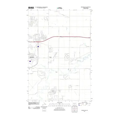
2011 Map of Menoken SW
USGS Topo · Published 2011About this map
Bismarck expands eastward into the prairie in this early 21st-century survey, showing the transition from established city blocks to emerging residential developments. The eastern suburbs are characterized by pockets of growth like Hillcrest Acres and the town of Lincoln, which sits south of the winding Apple Creek. This drainage system, along with Hay Creek, dominates the local topography, punctuated by water management features such as McDowell Dam and Yegen Dam.
Find a feature on this map
113 named features on this map. Tap any name to fly to it.
Don’t see what you’re looking for? This feature index may not catch every label — zoom into the map to look around manually.
Map Details
Editions of this 2011 Menoken SW Map
This is the sole edition of this map. No revisions or reprints were ever made.
Other maps of this area

1907 · Bismarck
USGS Topo · 1:125,000

1950 · Bismarck
USGS Topo · 1:24,000

1951 · Menoken SW
USGS Topo · 1:24,000

1951 · Bismarck
USGS Topo · 1:62,500

1951 · Menoken
USGS Topo · 1:62,500

1954 · Bismarck
USGS Topo · 1:250,000

1958 · Bismarck
USGS Topo · 1:250,000

1962 · Sugarloaf Butte
USGS Topo · 1:24,000

1962 · Schmidt
USGS Topo · 1:24,000

1962 · Menoken SW
USGS Topo · 1:24,000