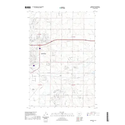
2020 Map of Menoken SW
USGS Topo · Published 2020About this map
Bismarck expands eastward into the Burleigh County plains in this 2020 survey, where the city’s residential and industrial grid meets the meandering course of Apple Creek. The map documents a complex transportation landscape, defined by the major corridor of the E Bismarck Expy and the presence of three distinct aviation facilities: Bismarck Municipal Airport, Sauter Airport, and the privately named Cloud-Nine Airport.
Find a feature on this map
86 named features on this map. Tap any name to fly to it.
Don’t see what you’re looking for? This feature index may not catch every label — zoom into the map to look around manually.
Map Details
Editions of this 2020 Menoken SW Map
This is the sole edition of this map. No revisions or reprints were ever made.
Other maps of this area

1907 · Bismarck
USGS Topo · 1:125,000

1950 · Bismarck
USGS Topo · 1:24,000

1951 · Menoken SW
USGS Topo · 1:24,000

1951 · Bismarck
USGS Topo · 1:62,500

1951 · Menoken
USGS Topo · 1:62,500

1954 · Bismarck
USGS Topo · 1:250,000

1958 · Bismarck
USGS Topo · 1:250,000

1962 · Sugarloaf Butte
USGS Topo · 1:24,000

1962 · Schmidt
USGS Topo · 1:24,000

1962 · Menoken SW
USGS Topo · 1:24,000