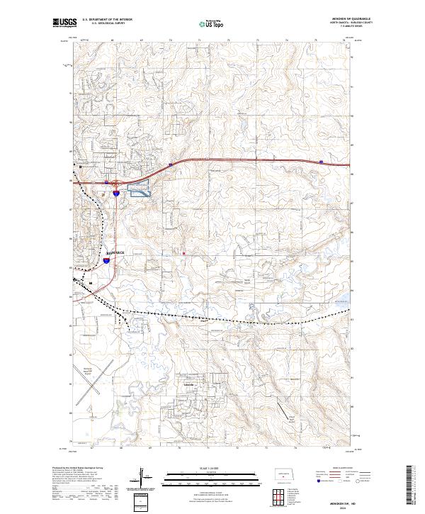
2024 Map of Menoken SW
USGS Topo · Published 2024About this map
Apple Creek and its tributary Hay Creek wind through this prairie landscape on the outskirts of North Dakota’s capital. The map records the expansion of Lincoln and the smaller settlement of Pierce, alongside a network of local roads like Plainsman Rd and Heartland Dr that trace the suburban and rural transition. Aviation history is particularly visible here, with Bismarck Municipal Airport situated in the southwest and smaller facilities like Sauter Airport and Cloud Nine Airport dotting the surrounding township sections.
Find a feature on this map
160 named features on this map. Tap any name to fly to it.
Don’t see what you’re looking for? This feature index may not catch every label — zoom into the map to look around manually.
Map Details
Editions of this 2024 Menoken SW Map
This is the sole edition of this map. No revisions or reprints were ever made.
Other maps of this area

1907 · Bismarck
USGS Topo · 1:125,000

1950 · Bismarck
USGS Topo · 1:24,000

1951 · Menoken SW
USGS Topo · 1:24,000

1951 · Bismarck
USGS Topo · 1:62,500

1951 · Menoken
USGS Topo · 1:62,500

1954 · Bismarck
USGS Topo · 1:250,000

1958 · Bismarck
USGS Topo · 1:250,000

1962 · Sugarloaf Butte
USGS Topo · 1:24,000

1962 · Schmidt
USGS Topo · 1:24,000

1962 · Menoken SW
USGS Topo · 1:24,000